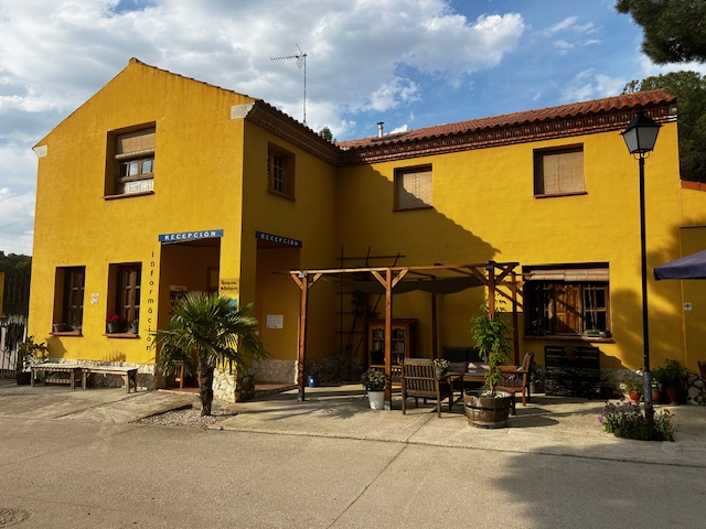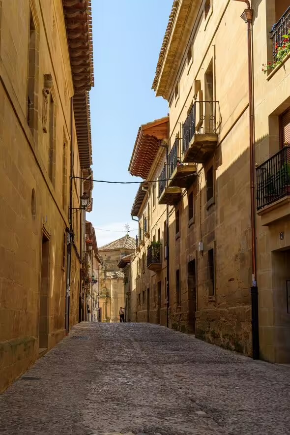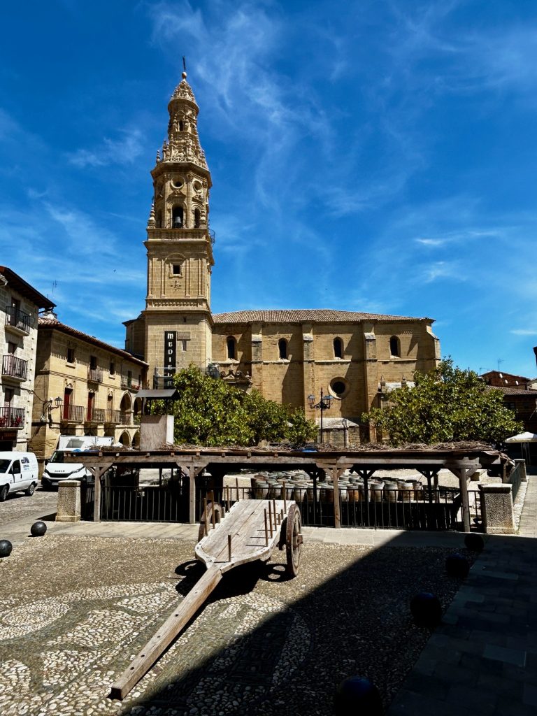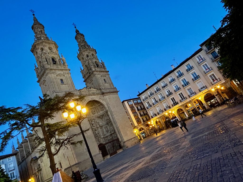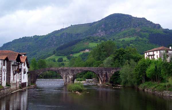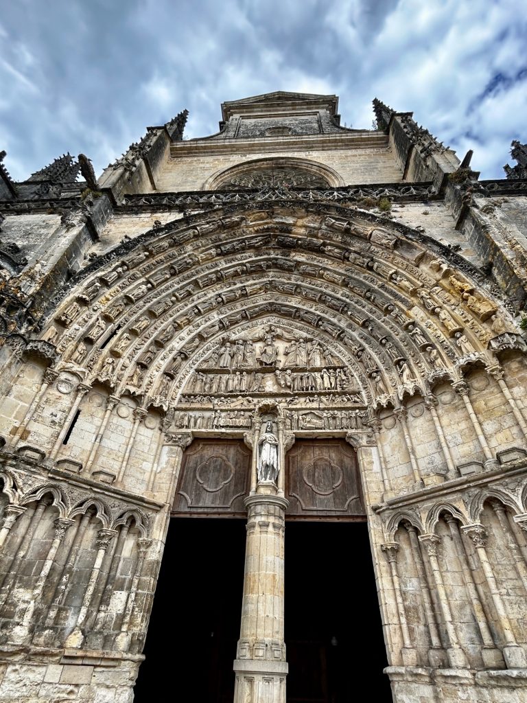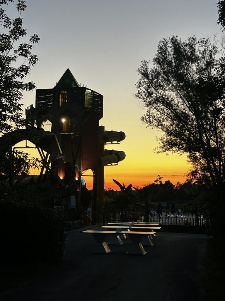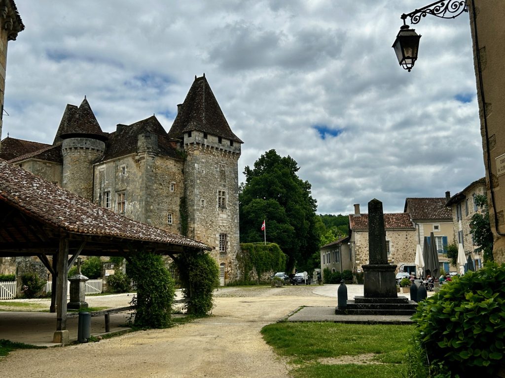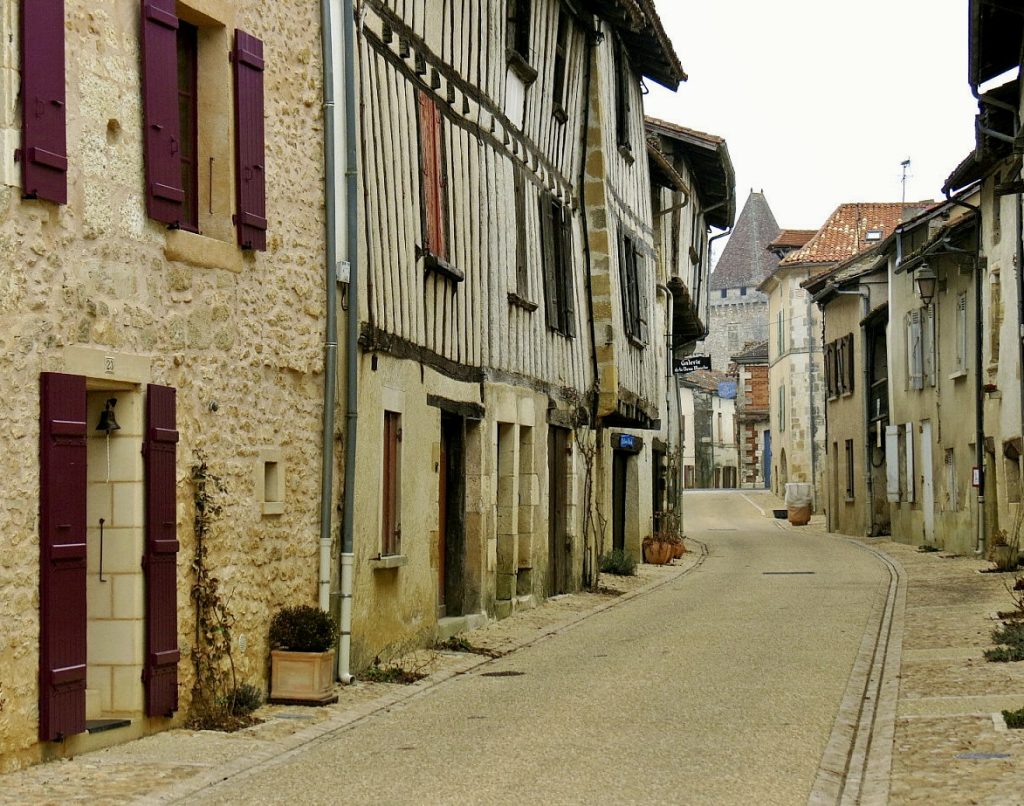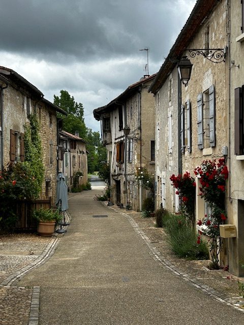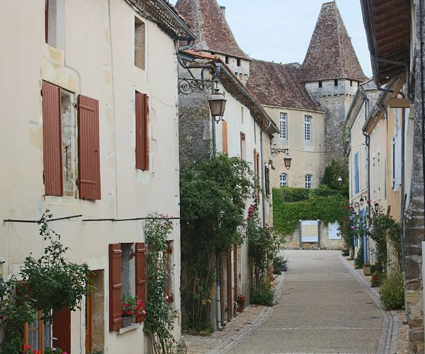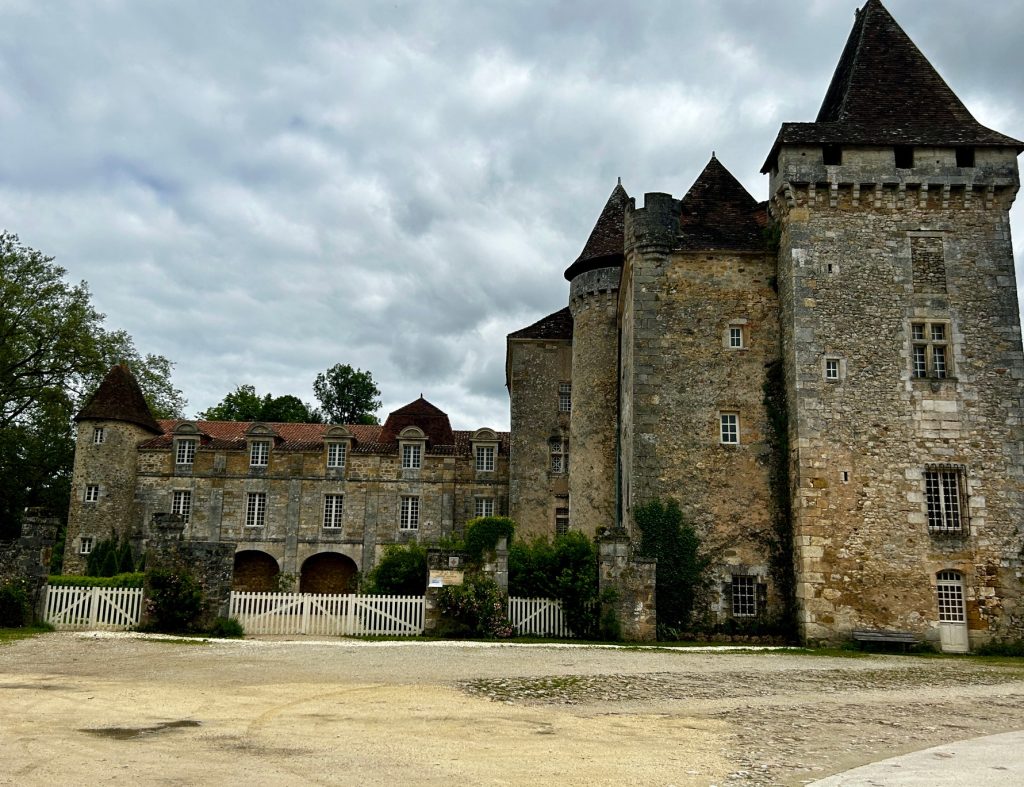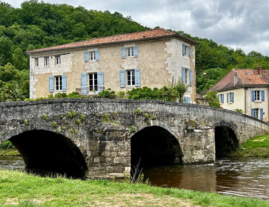
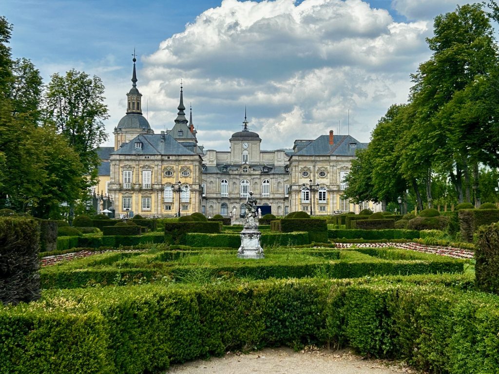
We checked in to Penafiel for a couple of days but whilst there took time out to visit the village and Royal Palace of La Granja de San Ildefenso, just a few miles south east of Segovia.
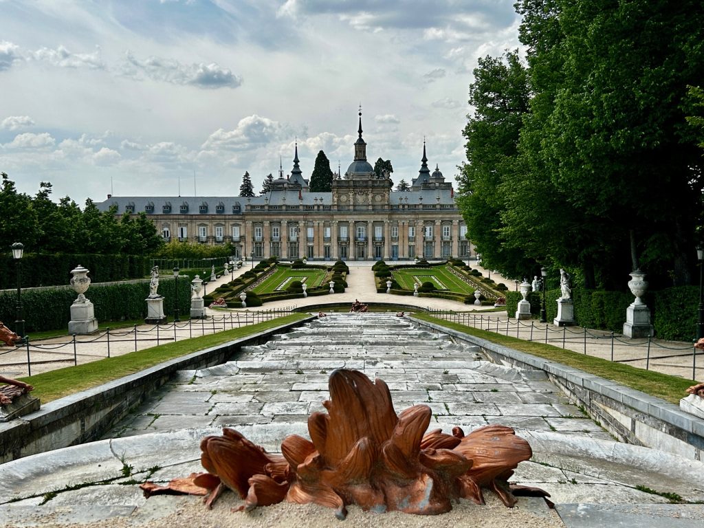
During the Middle Ages, the whole area surrounding modern day La Granja was a favourite hunting ground of various Castilian Kings and particularly of the first Bourbon to rule Spain, King Philip V (a grandson of the French King Louis XIV). Philip V liked the area so much that he resolved to build a palace on the site of an old hunting lodge and, at an appropriate time, to abdicate in favour of his son and retire there. Construction of the Royal Palace of La Granja de San Ildefenso commenced in 1721 with the palace being very much modelled on the Palace at Versailles where he had been brought up. On 15 January 1724, after 23 years service as King of Spain, Philip V abdicated in favour of his son (Louis I of Spain) and retired to his new palace at La Granja.
That retirement didn’t last long. Within 7 months, Louis died of smallpox and Philip was forced to renounce his abdication and return as King of Spain. He served a further 22 years as King but reigned for the most part from his new palace. The village grew steadily during this period (as an increasing number of courtiers and servants moved to the area to better serve the King) and the Royal Palace of La Granja de San Ildefenso remained the Spanish Court’s primary summer palace until the Second Spanish Republic was formed in 1931.
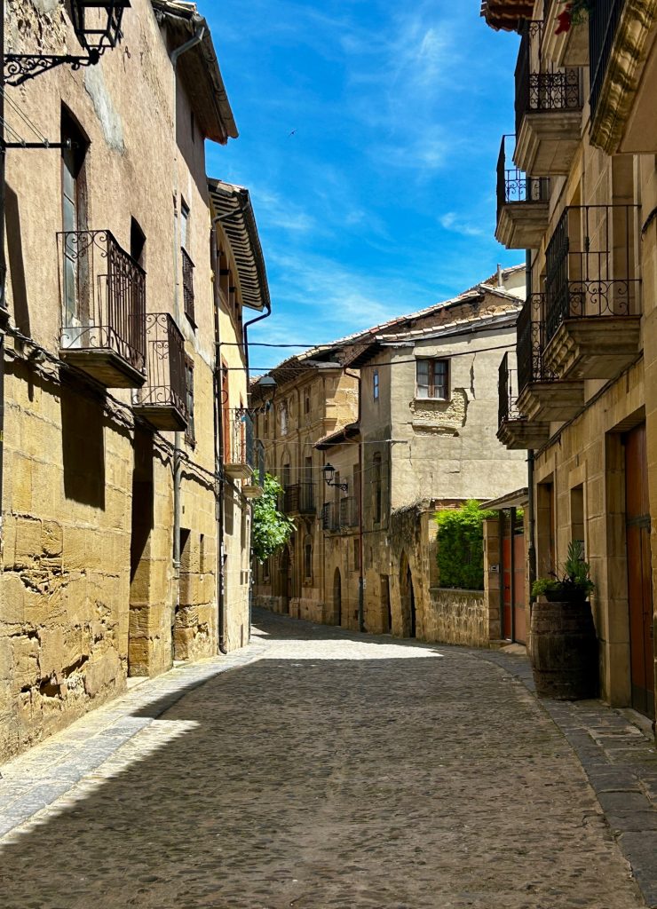
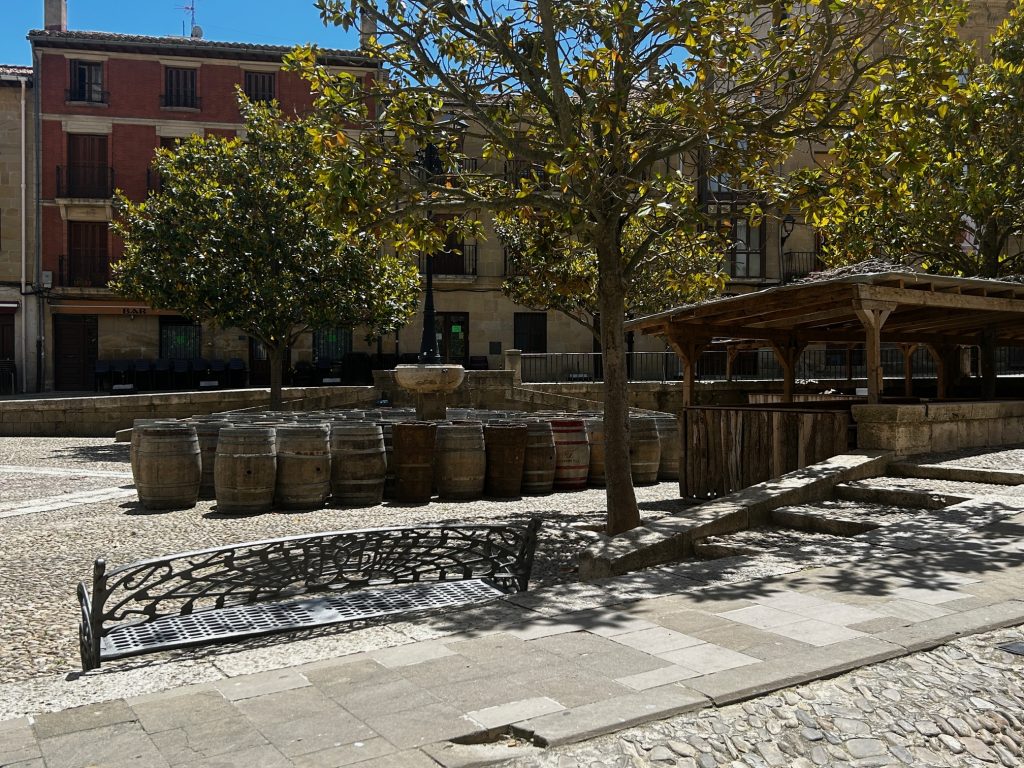
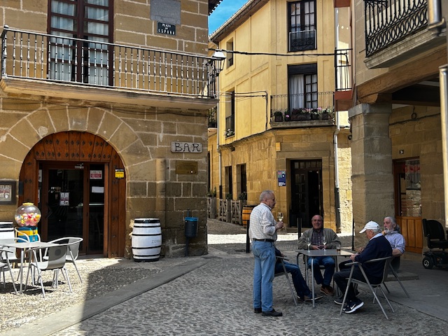
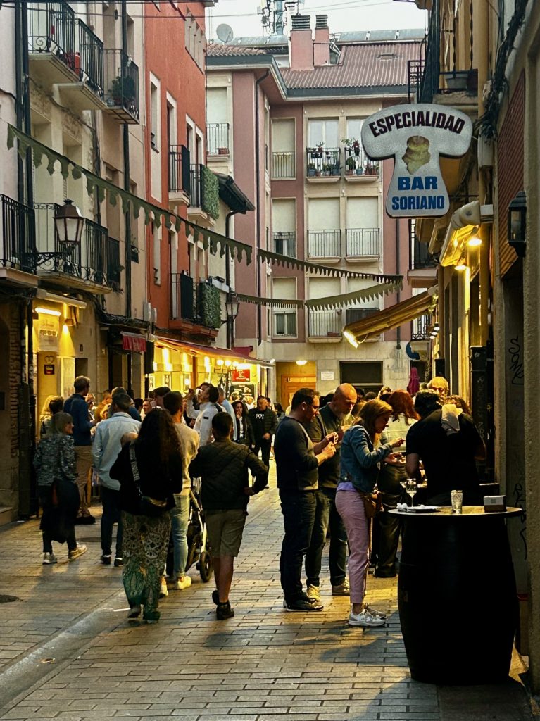
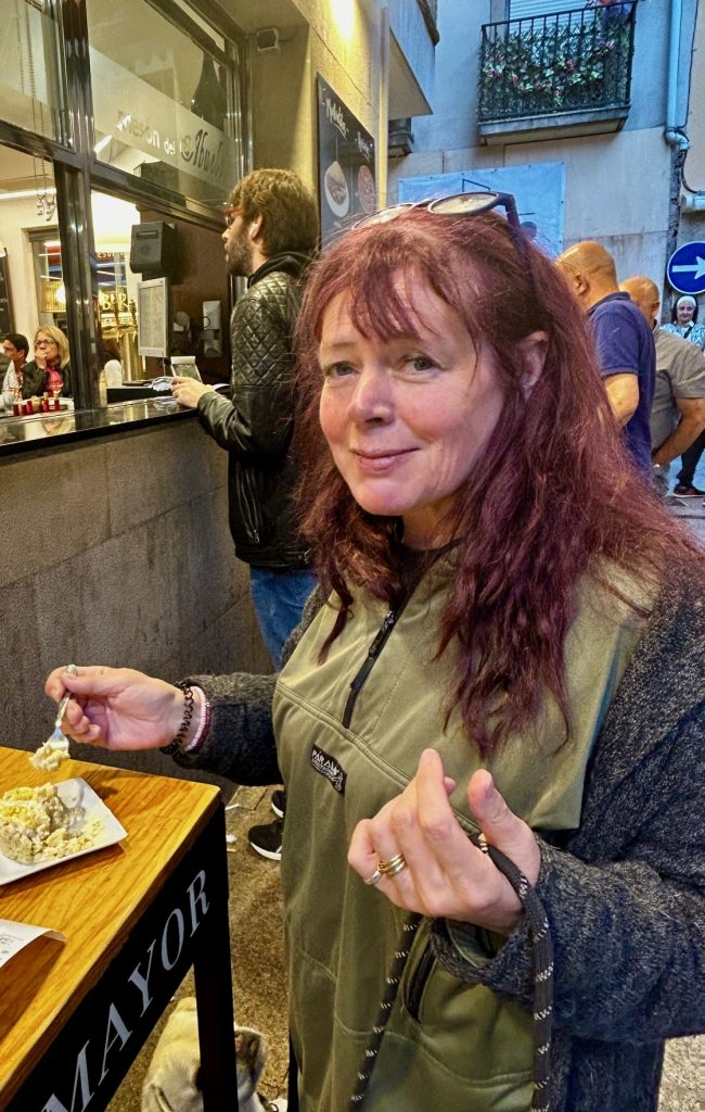
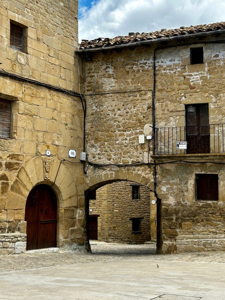
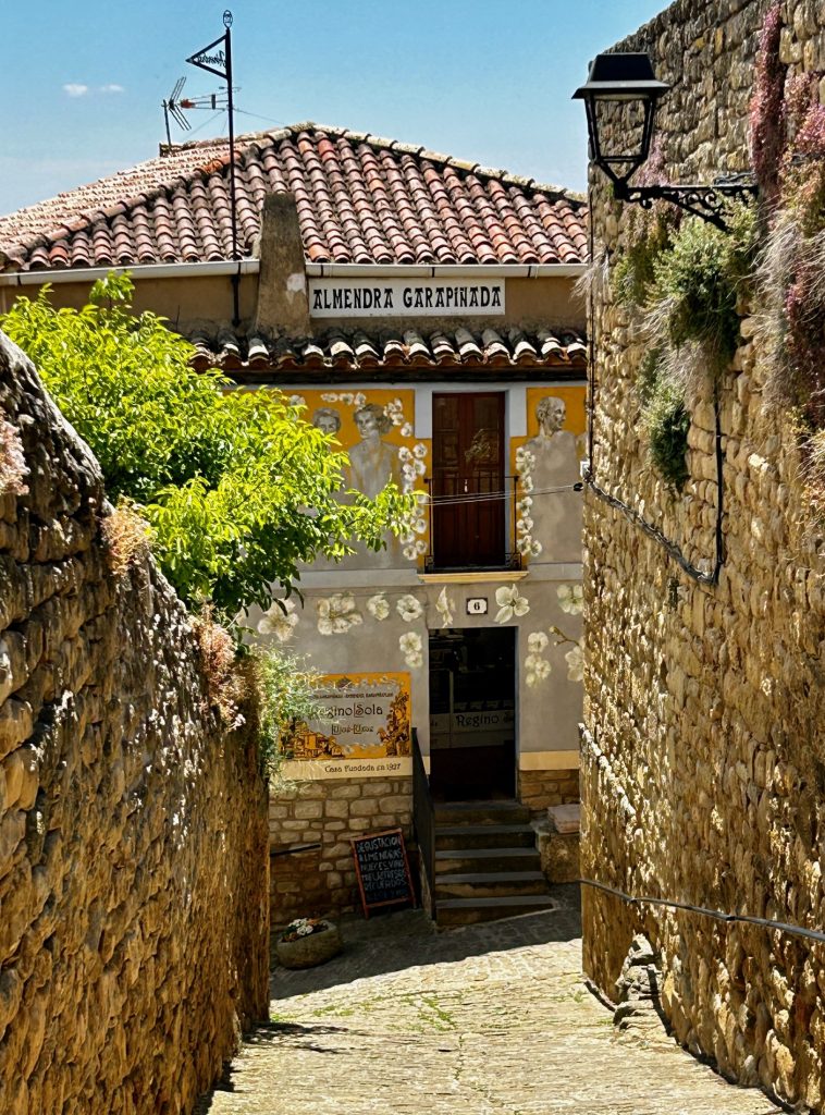
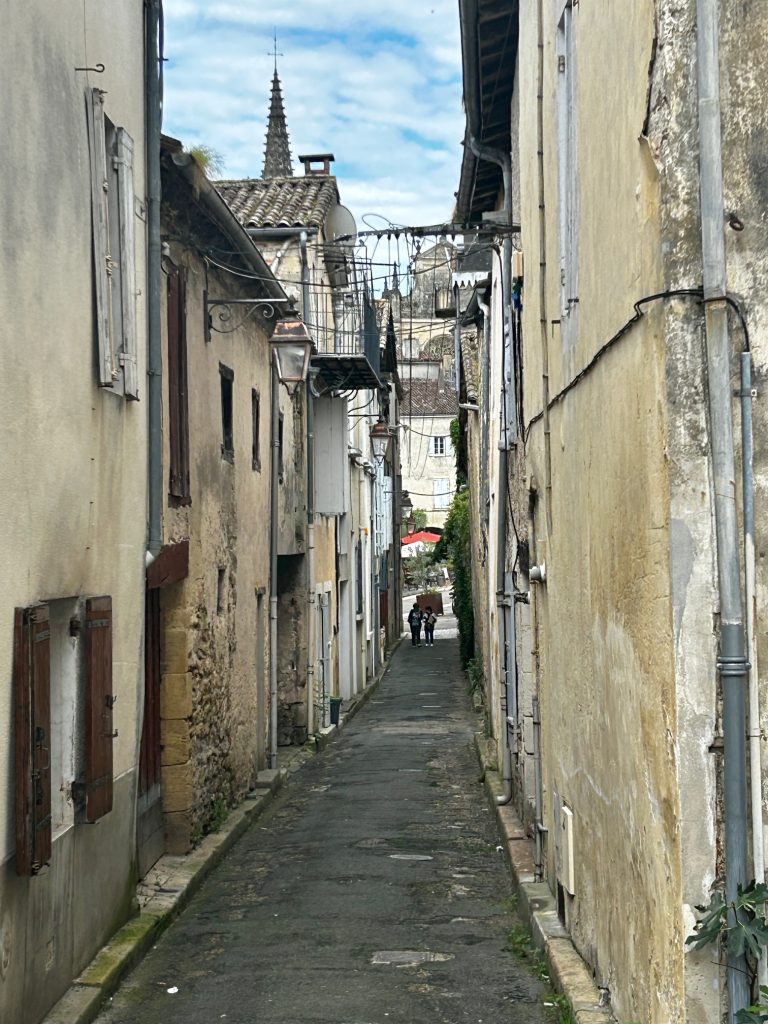
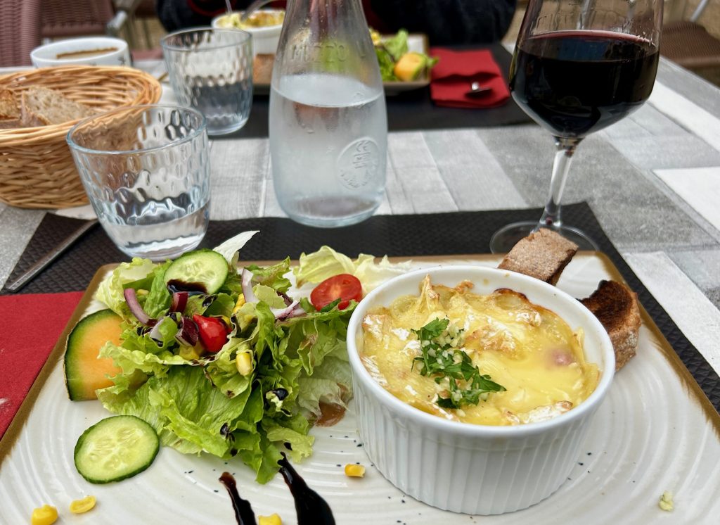
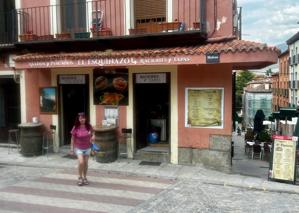
The village of just under 3,000 people is pretty but expensive (it has become a major tourist resort attracting thousands of visitors each year mostly from Madrid, which is just 80 kilometres to the south, and Segovia). A raciones of tiny prawns in a local bar in La Granja cost 20 euros which, for Spain, is dear. 10 euros on the northern coast would get you a dozen large langoustines.

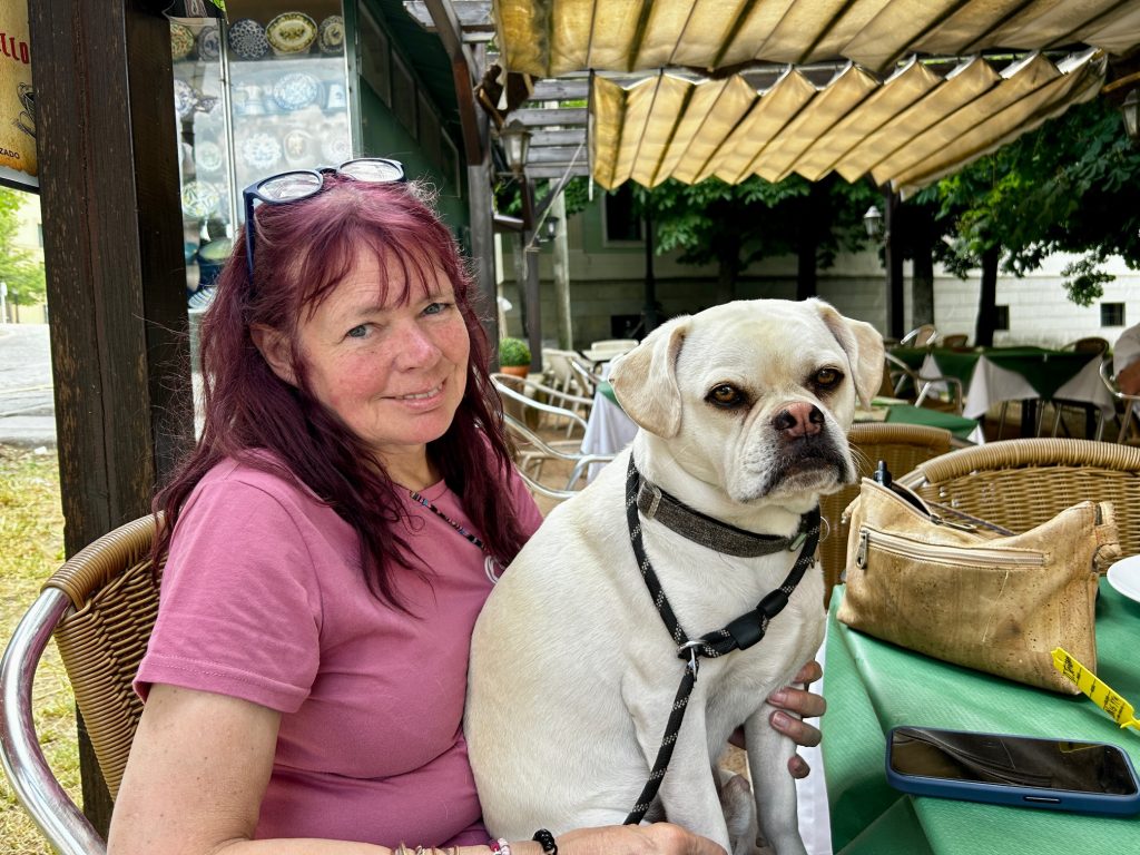
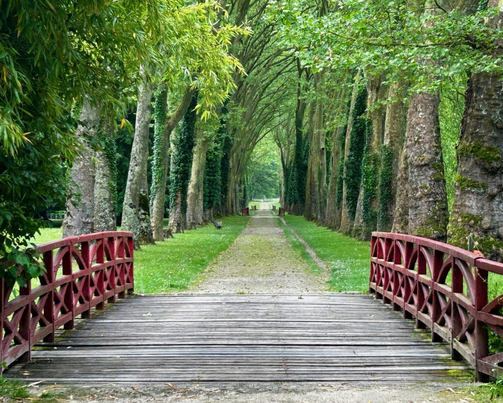
The Royal Palace is now a museum and I wasn’t particularly interested in spending time inside on such a fine day and so, instead, bought a 5 euro ticket to wander the gardens. Vanya chose to return to the Van with the dogs.
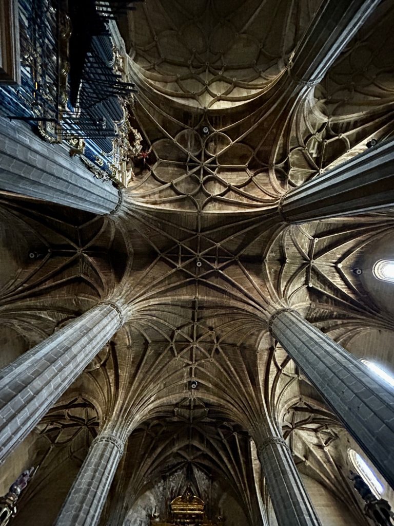
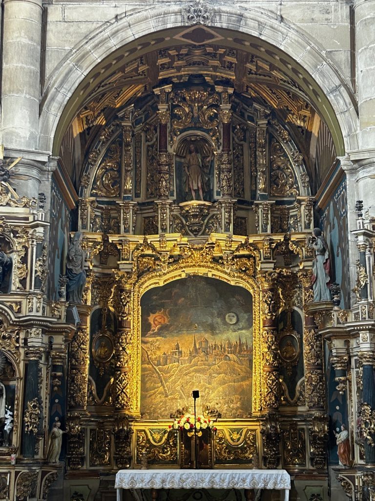
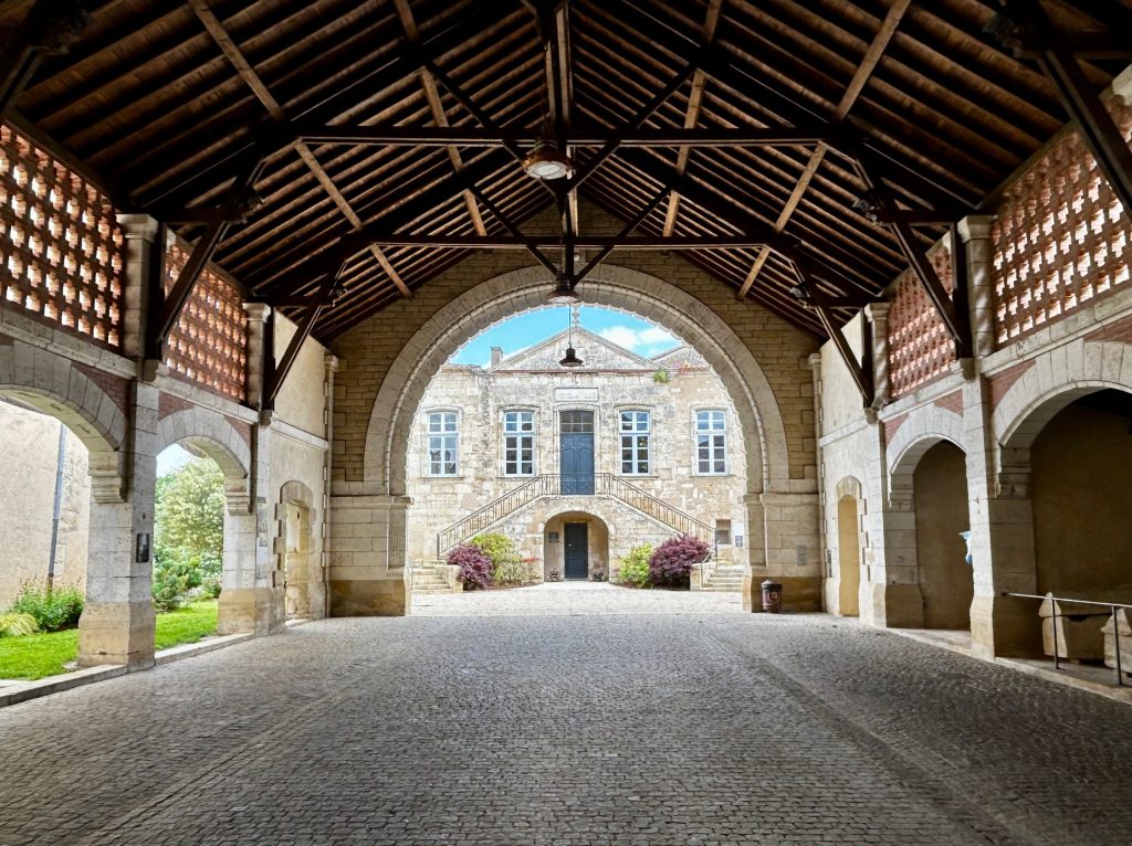
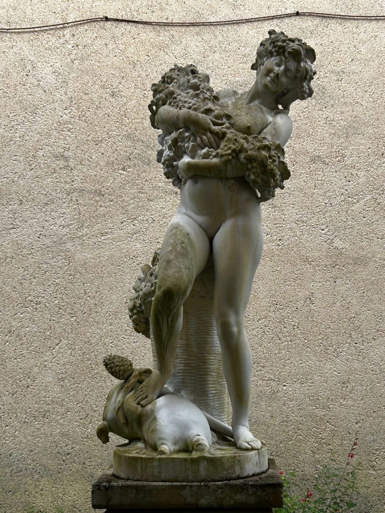
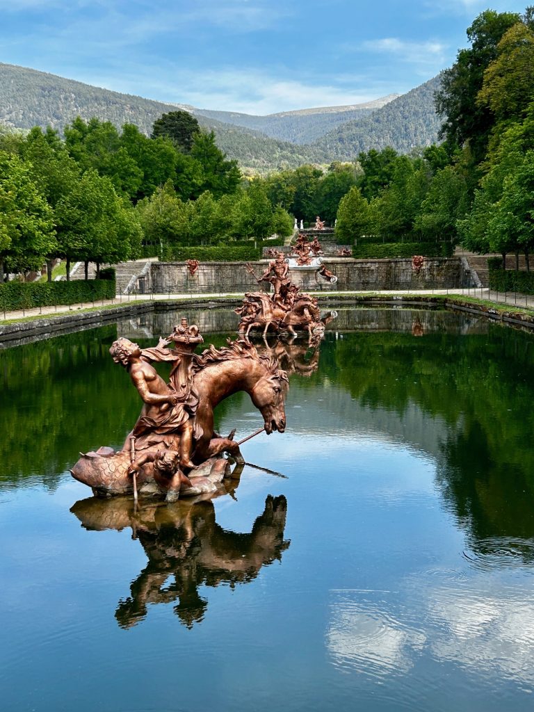
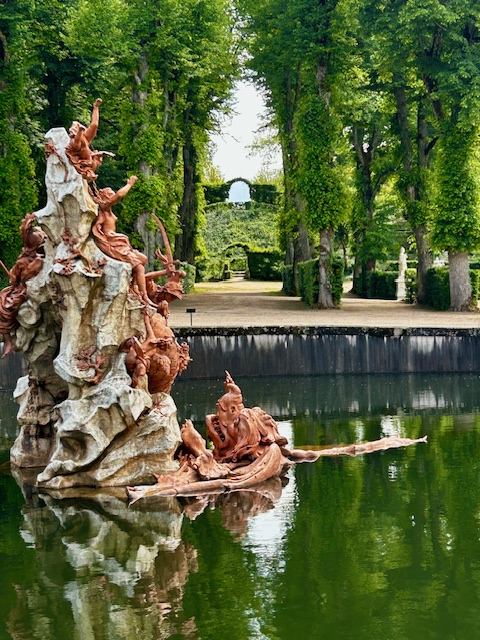
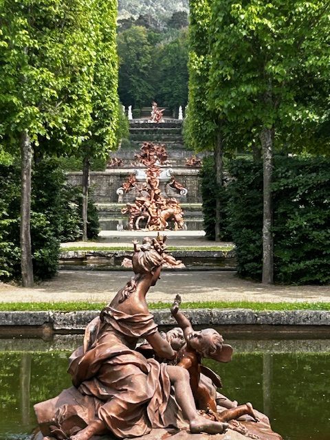
The palace and the palace gardens with their many fountains are something special although, not one of the fountains was working during my visit. Because of recent droughts and high energy costs, it is rare if ever that all the fountains in the palace are in operation at the same time but I must have been particularly unlucky not to see even one in operation. Almost all the fountains were cast in lead to limit corrosion and then painted over to simulate bronze. Working or not, they are spectacular.
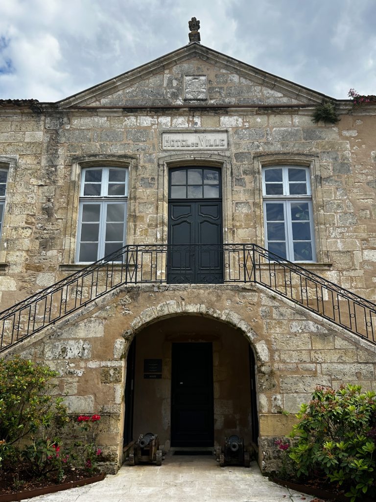
Enough waffle. I’ll leave you with a few photos of the exterior of the palace and of course the palace gardens…
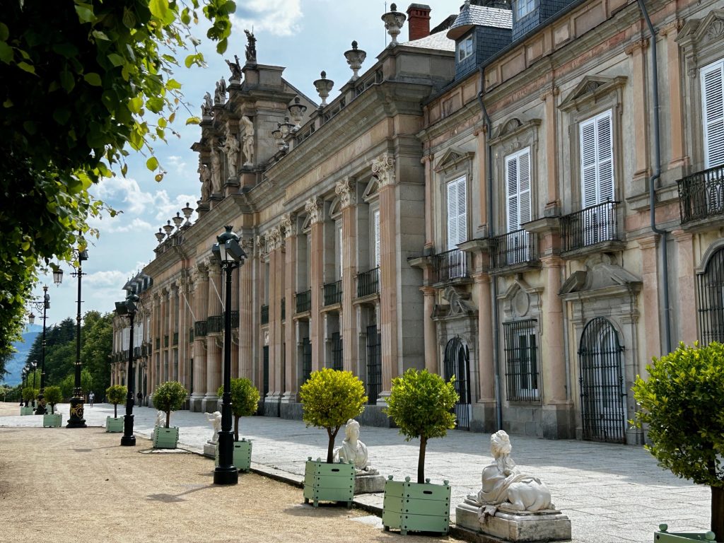
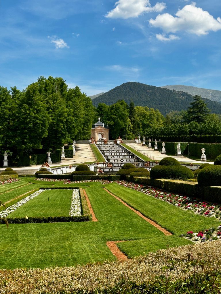
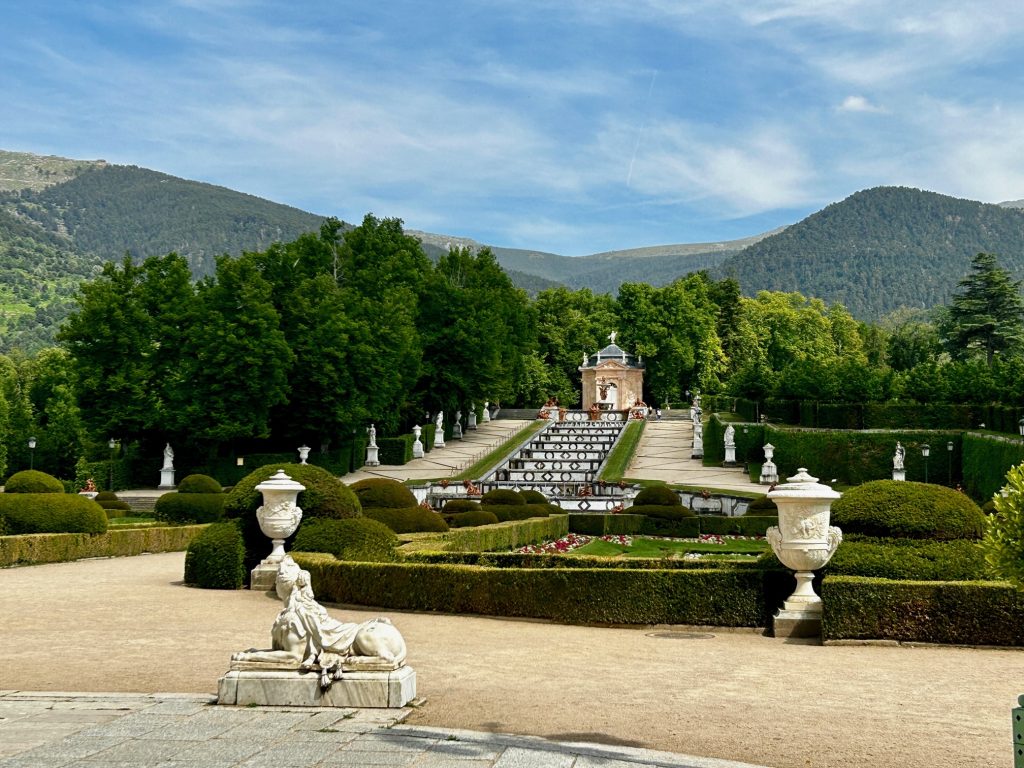
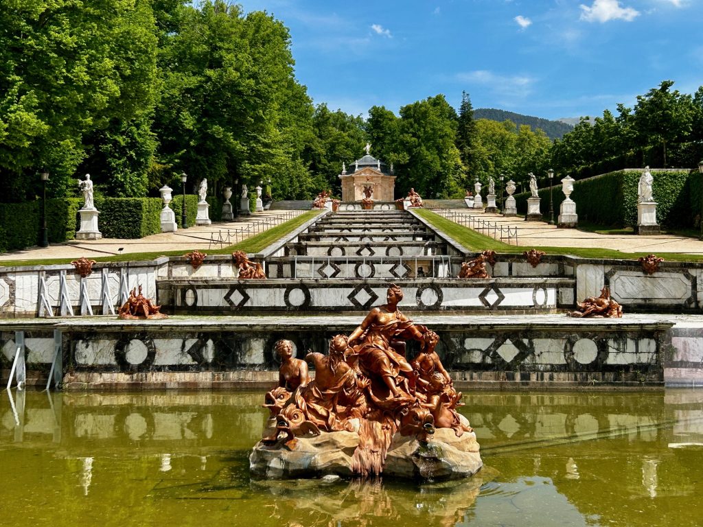
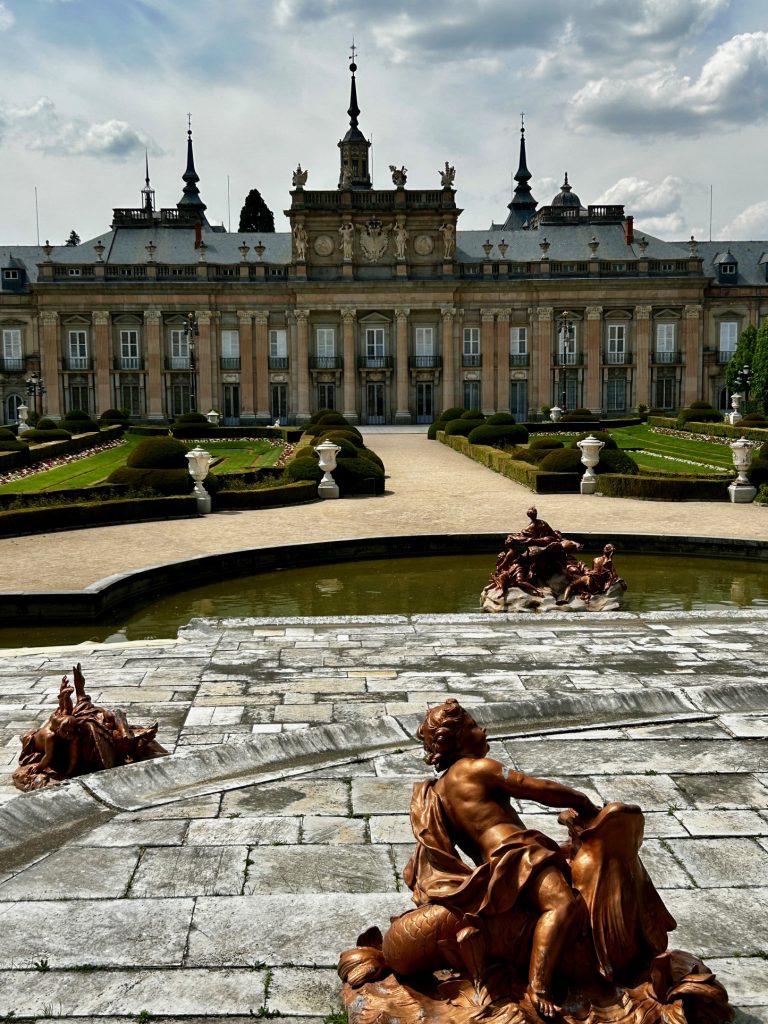
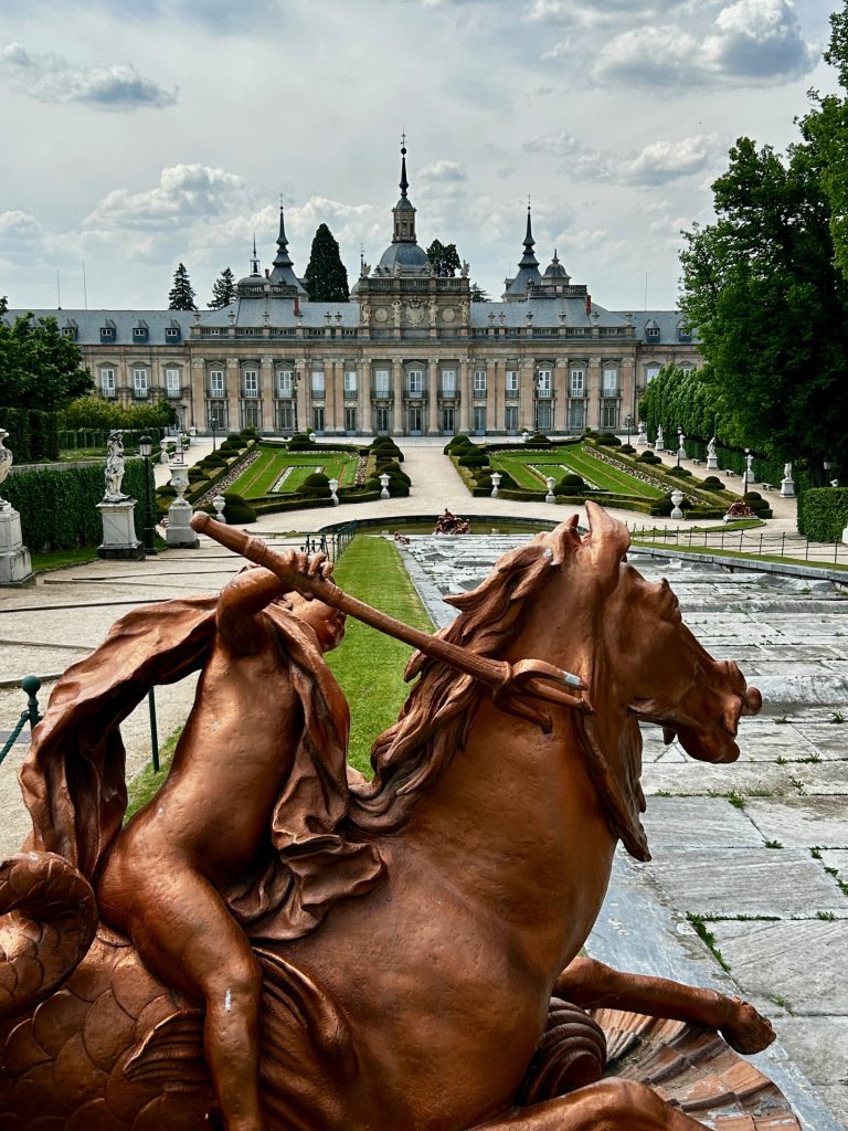
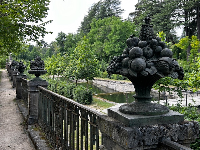
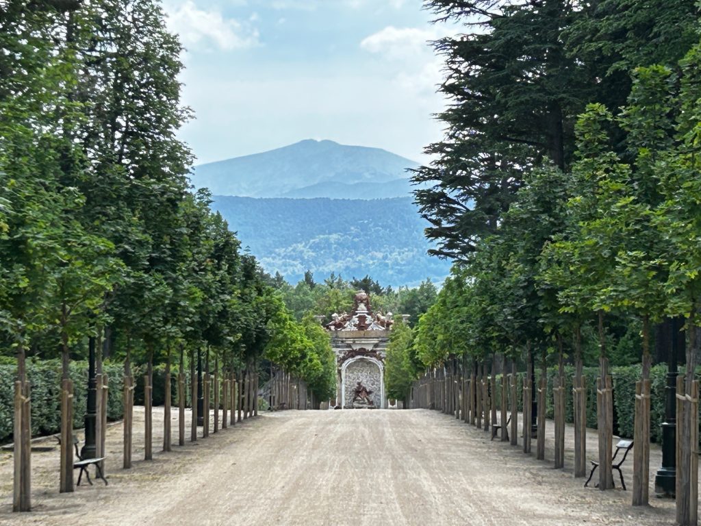
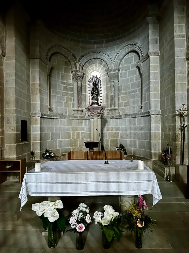
Very few flowers but impressive all the same.