
We were heading to Violes but, on the way, stopped off at the tiny hilltop village of Seguret.
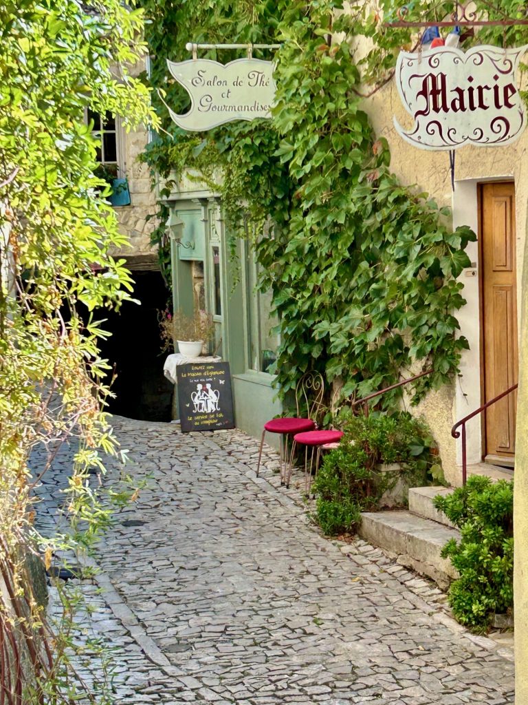
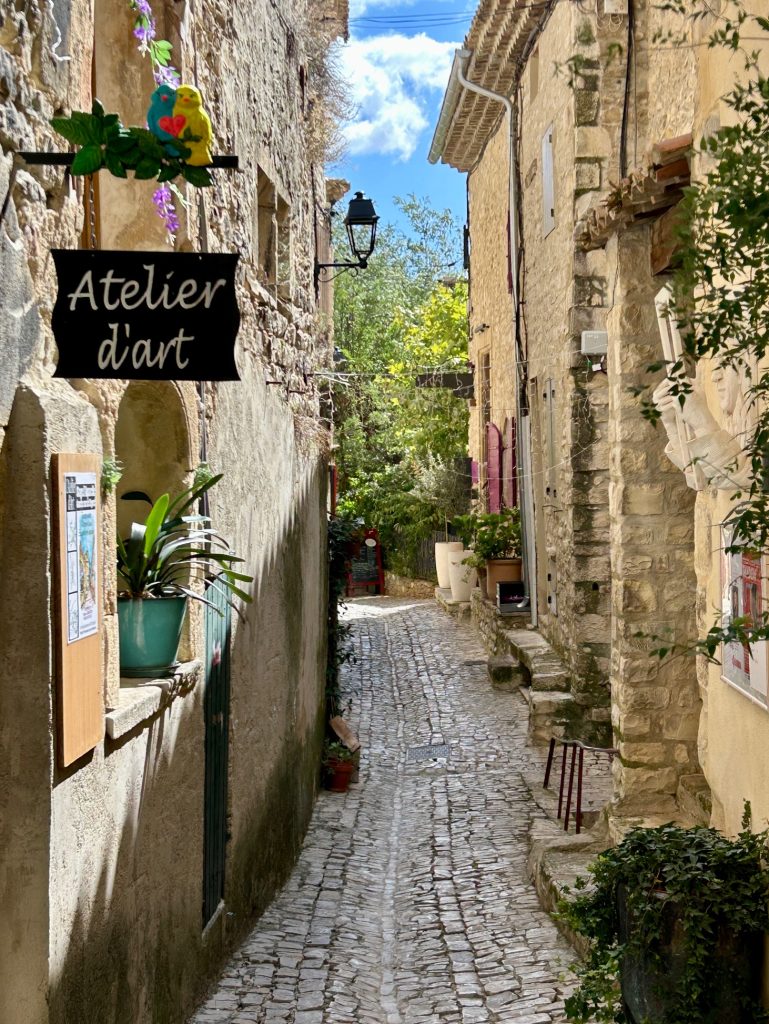
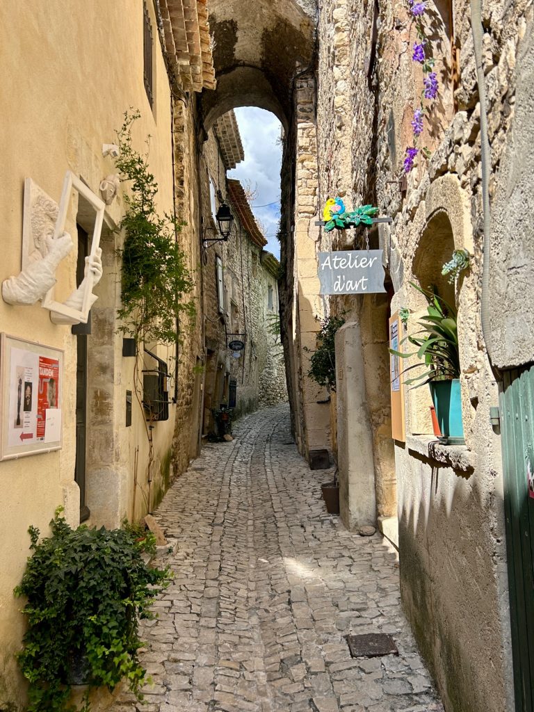
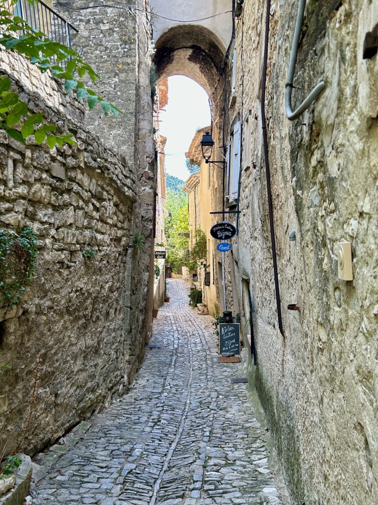
The ‘old town’ part of Seguret clings to the western side of a small hill in the Northern Vaucluse area and is as deserving a member of the ‘plus beau village de France’ community as any. It is almost completely encircled by two roads; the Rue du Barry which stretches along the lower part of the town and is little more than an access road and; the Chemin de L’Auteret which stretches along the upper part of the town and leads to the village church, L’Eglise Saint Denis. The area in between these two roads is entirely pedestrianised and comprises two narrow winding cobbled streets being, the Rue des Poternes and the Rue de Four. The main street is the Rue des Poternes which stretches the entire length of the village. The other, the Rue de Four, is a spur which leads off the Rue des Poternes and up to the church. Both are beautiful.
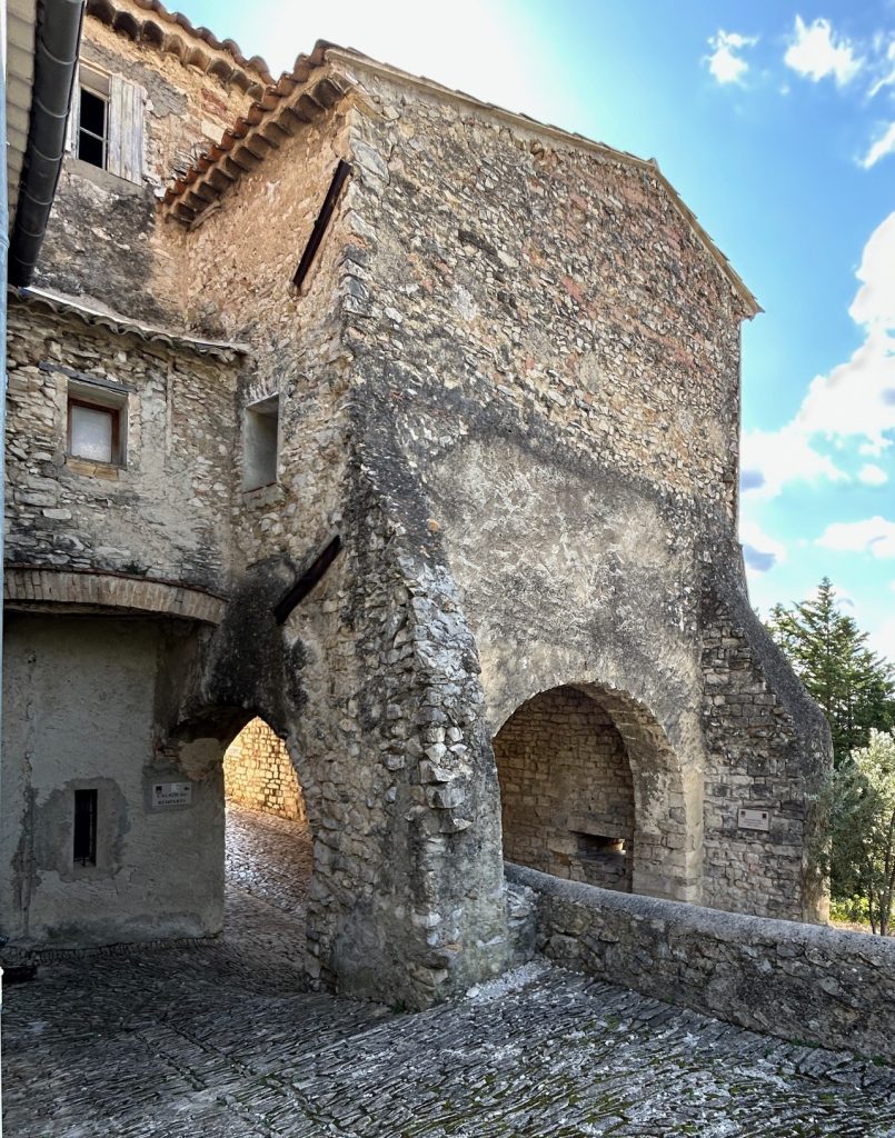
We approached the village from the north, entering via the 12th century Porte Reynier (also known as the Portail de la Bise), and then walked the length of Rue des Poternes. Narrow and winding is an understatement but it is full of interest and a photographers dream.
The Rue des Poternes is largely residential but there are a handful of craft shops and/or galleries and three cafe-restaurants, one of which was shut. Le Mesclun, further down towards the southern entrance to the village is reputed to be the best for food but it too was closing as we arrived and we therefore made do with Le Cote Terrasse; friendly and welcoming but not good value.
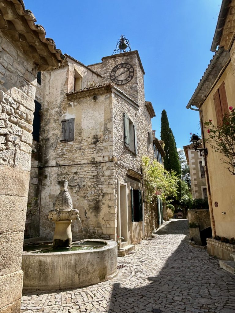
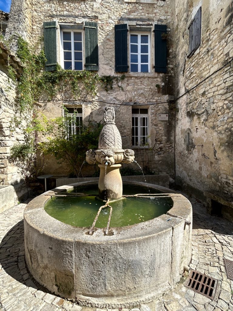
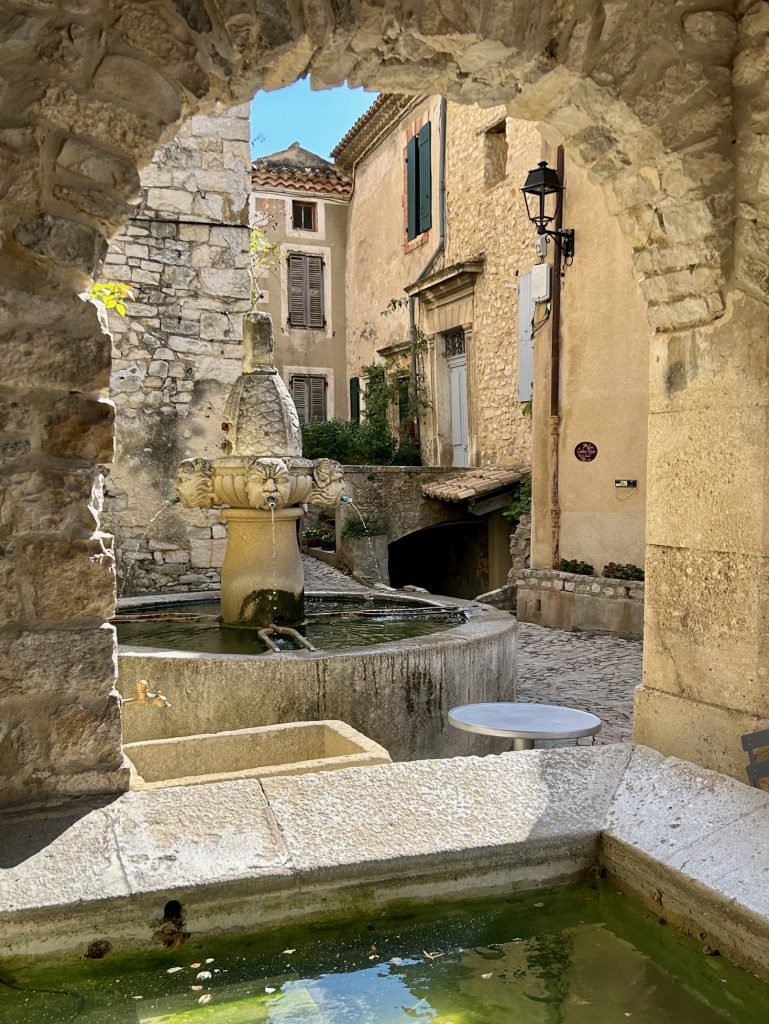
There’s no market square in old town Seguret; the village is simply too narrow. Instead there is the Fontaine des Mascarons; the ‘fountain of masks’ on account of the four sculpted heads with spouts through which potable water flows. At one time, this was the only source of drinking water in the village. Close to the fountain is the old lavoir (communal washtub for want of a better description) and a drinking trough for the village’s animals. This would have been the village’s principal meeting place; as is evidenced by the adjacent village clock and belfry.
There’s a second larger lavoir at the southern end of the village just outside the Huguenot Gate on the Place des Arceaux.
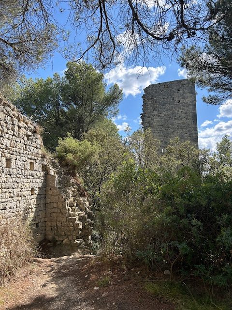
Having walked the length of the Rue des Poternes, Vanya was content to wait in the Van while I walked the remainder of the village. I escorted her back to the Van by way of the Rue du Barry and then took off, firstly, up the Rue de Four to the church and then up the Chemin d’L’Auteret to the castle ruins. That way, I would be able to cover the whole village.
Saint Denis was closed but the panoramas from a viewing platform outside the church more than compensated; especially those across the Rhone Valley.
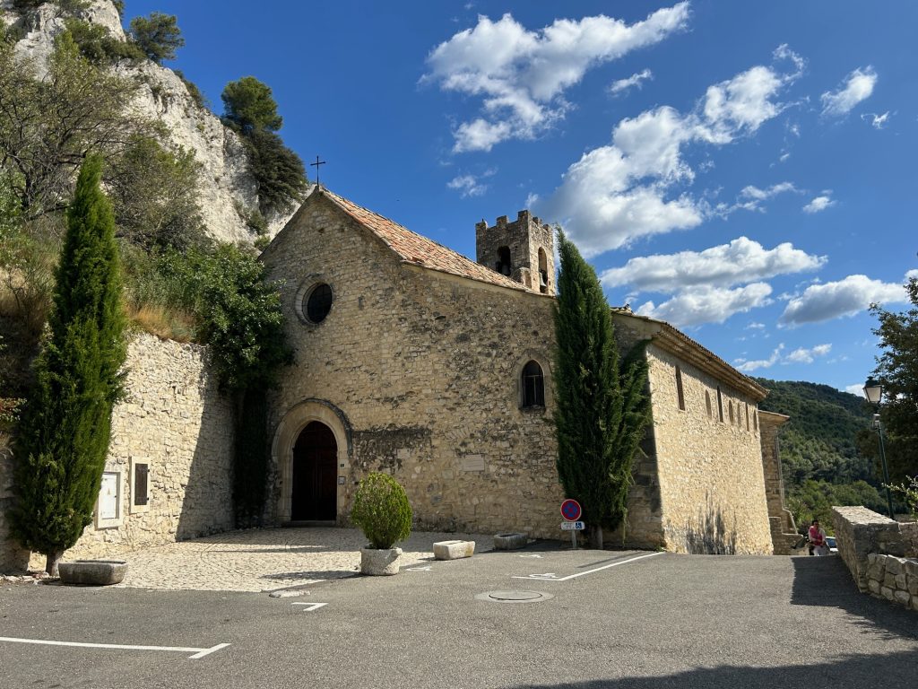
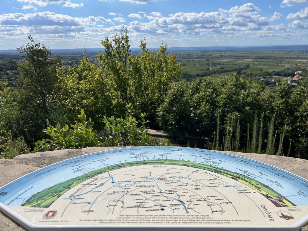
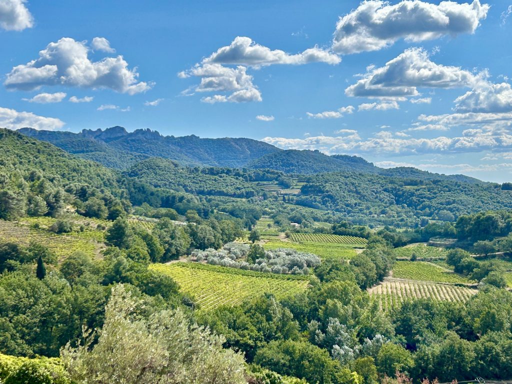
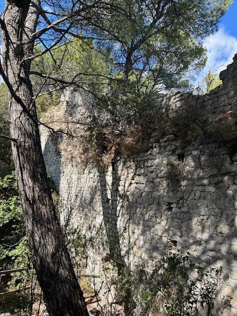
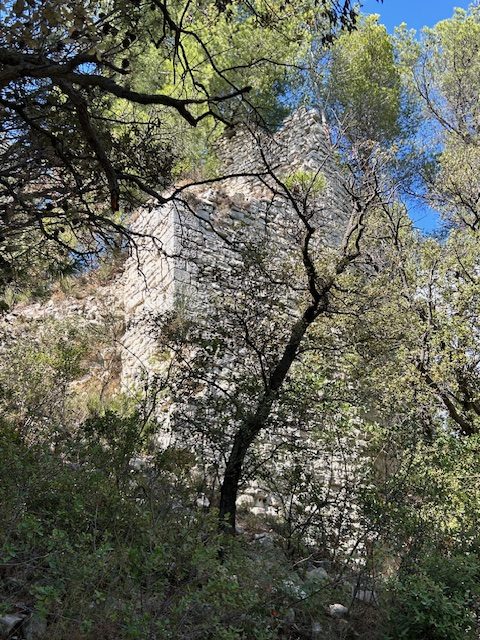
Indeed, the views from the church are better than from the castle ruins higher up the hill (and don’t let anyone tell you different); particularly those to the south east (which could be the jagged teeth of the ‘Dentelles de Montmirail’). Actually, I thought the walk up to the castle ruins a complete waste of time. The views are obscured by trees and there’s nothing left of the castle that is worth seeing.
That’s all I’m inclined to say for now about Seguret except that during our short stay the wind started blowing a real hoolie! I thought at the time that such a strong wind had to be the Mistral. If so, we would be in for a rough ride at our next stop, Violes.