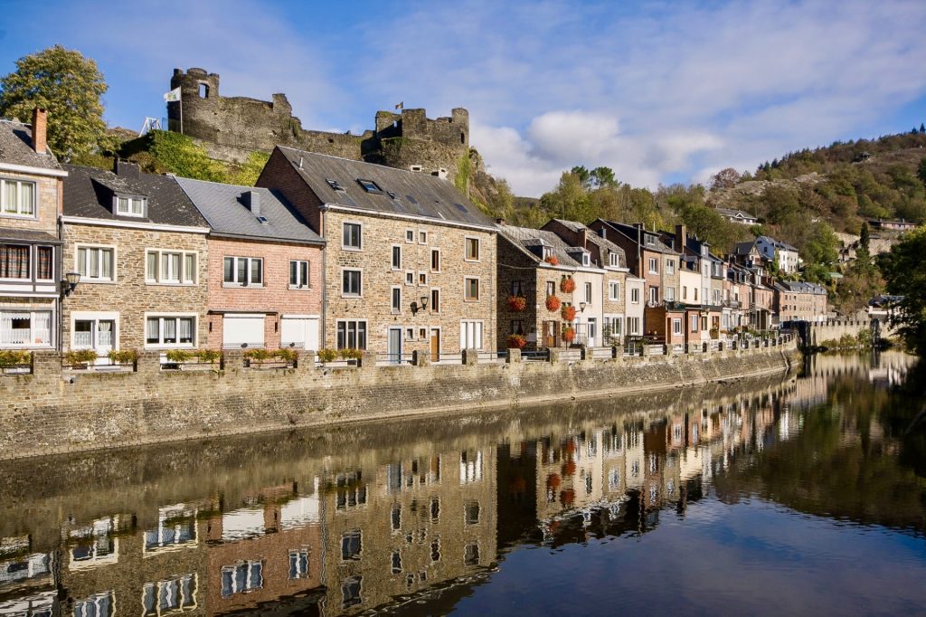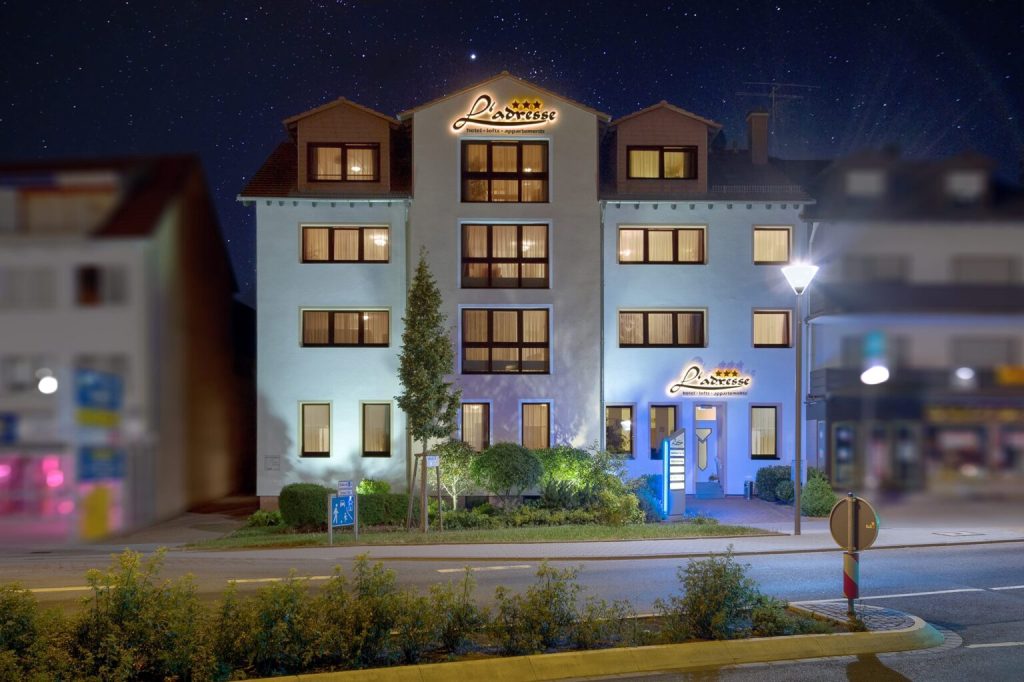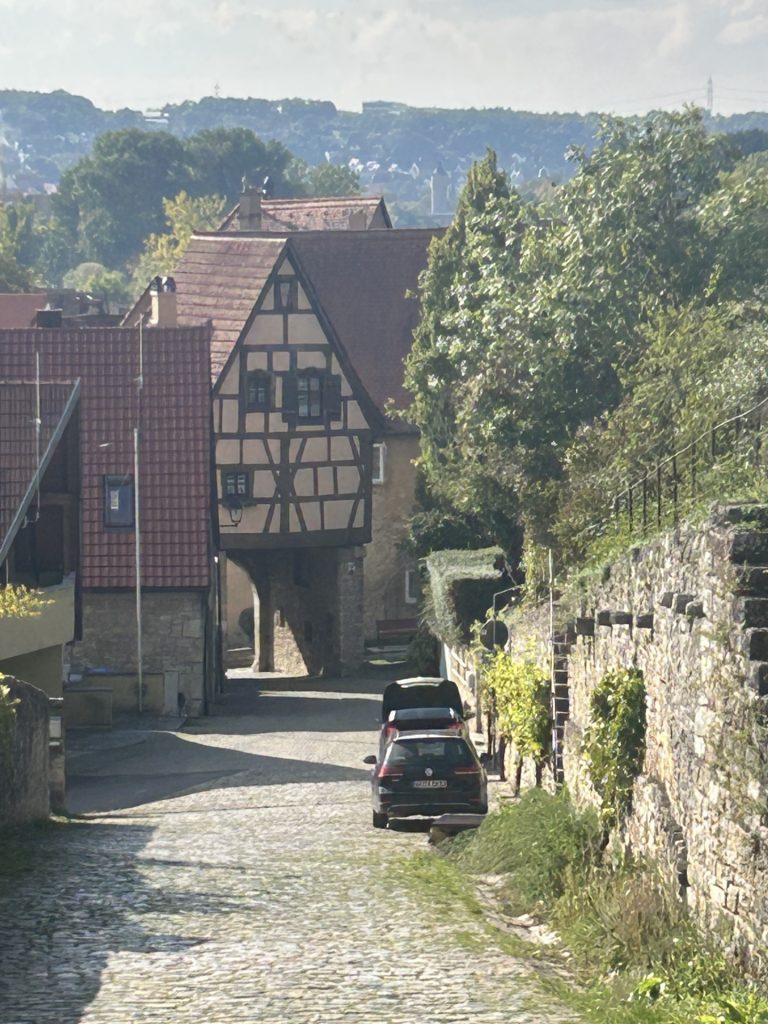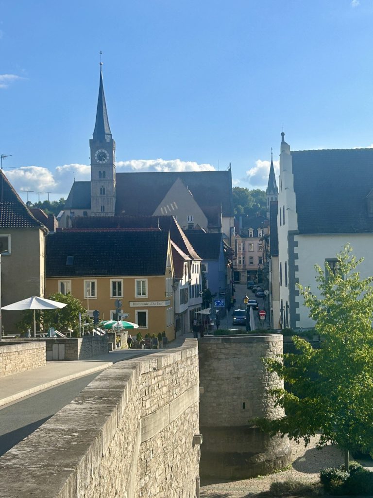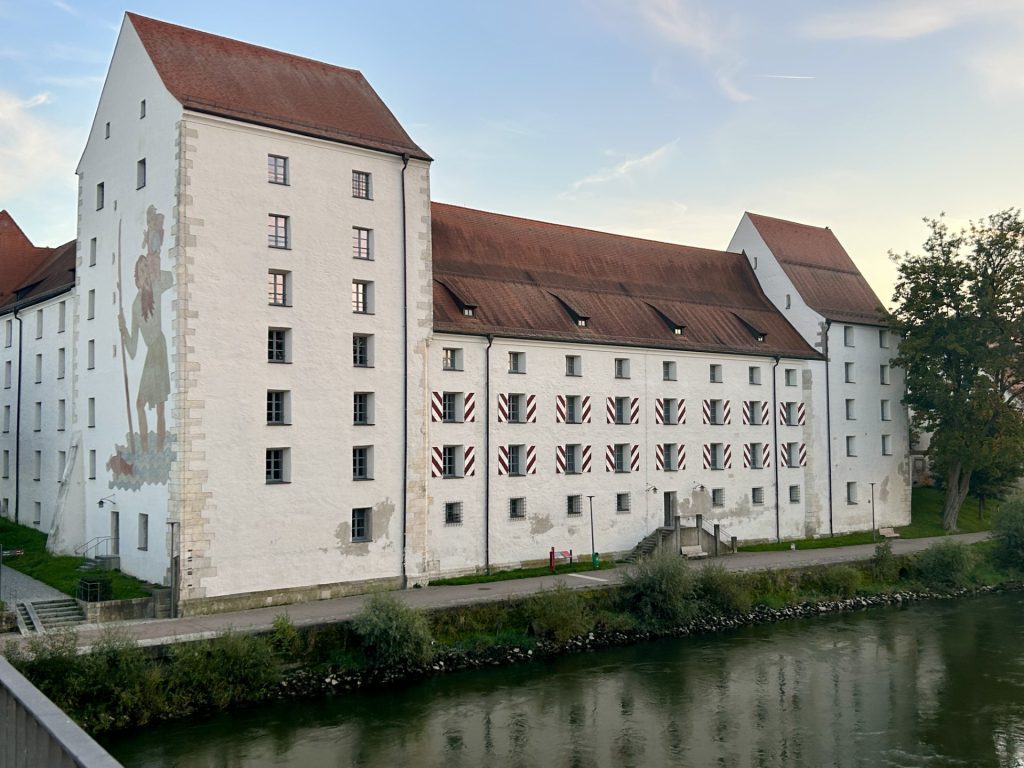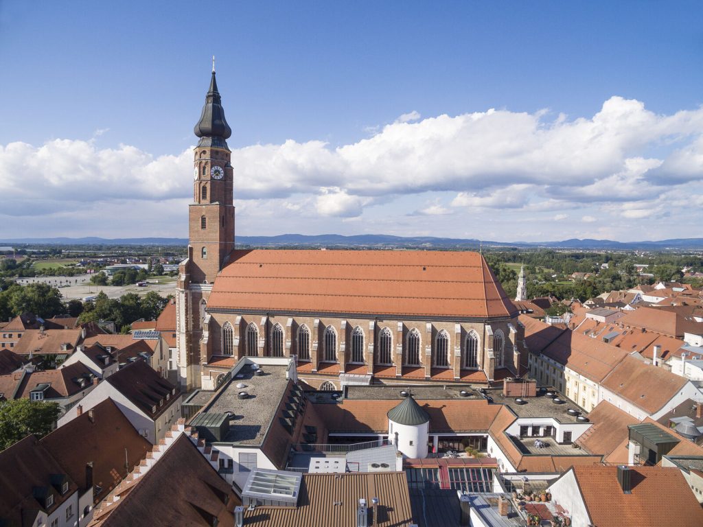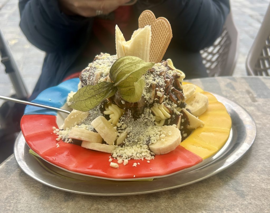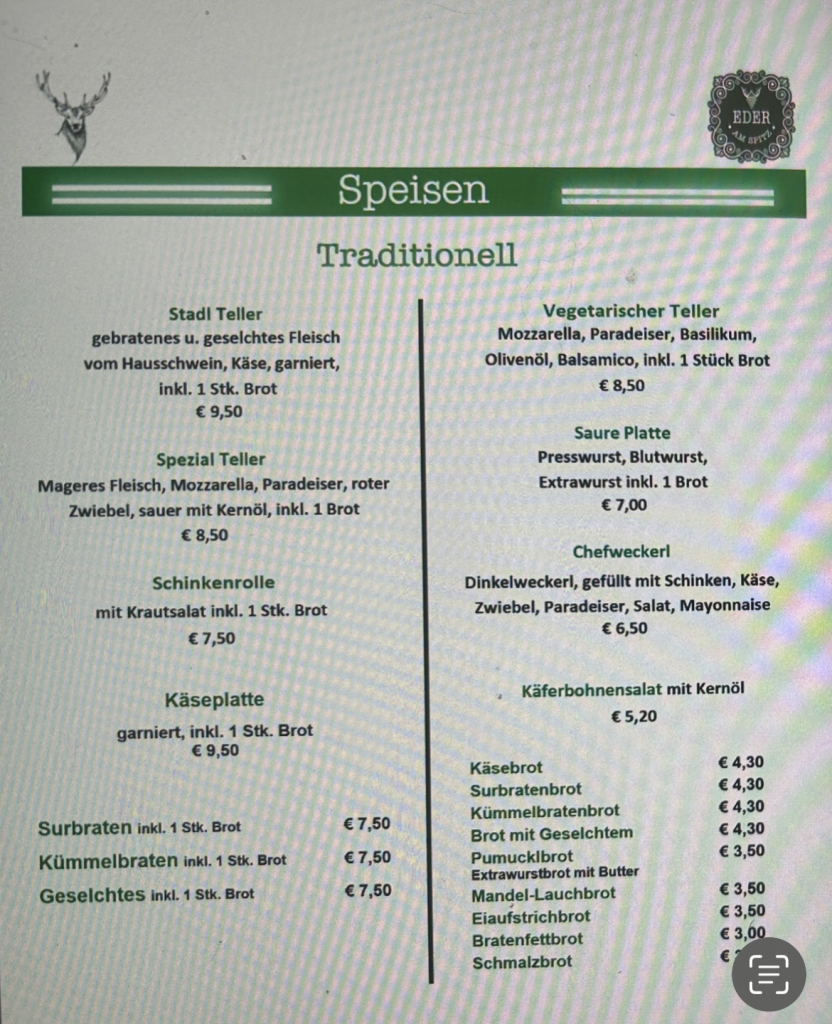
Settled at a fine little camp site (Camping Saint-Louis) in Autinges, a tiny village of less than 300 inhabitants, just 10 miles south east of Calais.
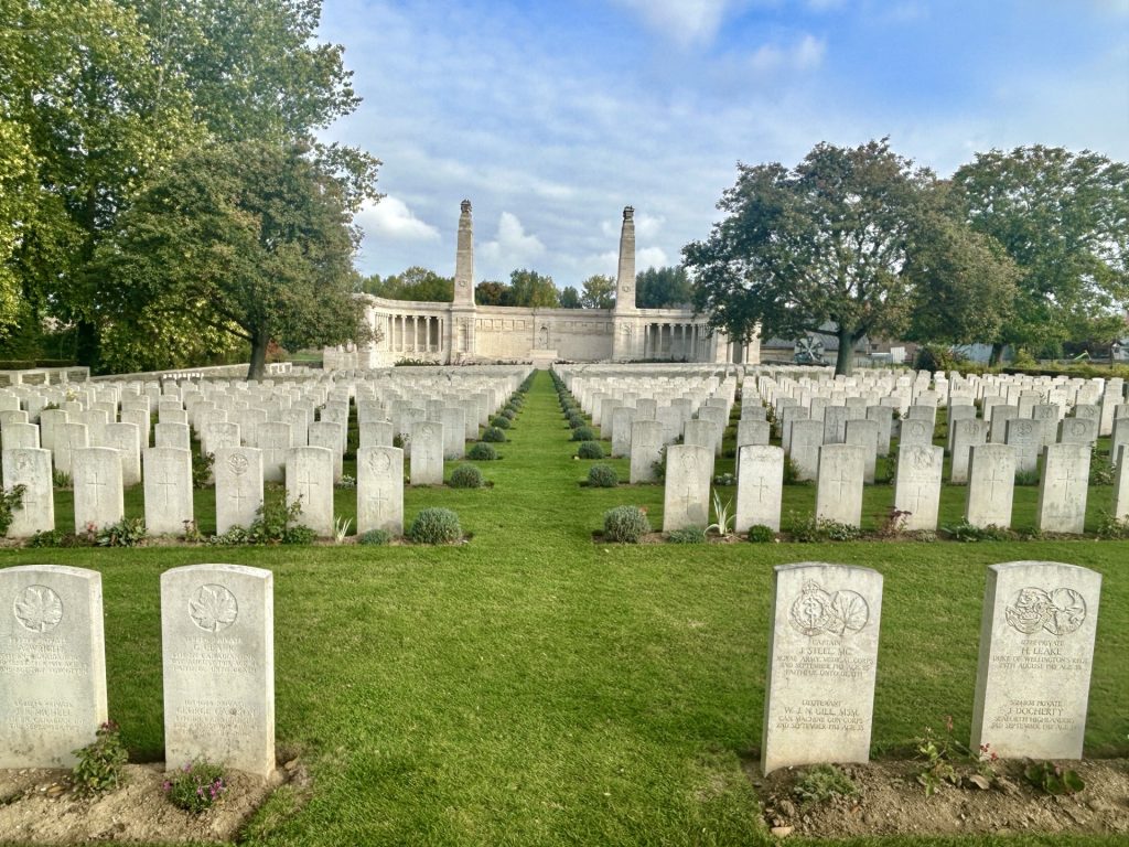
There’s little of interest in Autingues. We chose it because of it’s proximity to the ferry port in Calais. However, the journey from Cambrai took us near Haucourt and Arras and we paused at both these places; Haucourt to pay our respects to the fallen interred in the British & Commonwealth Cemetery and Arras because I had heard such promising things about the city.
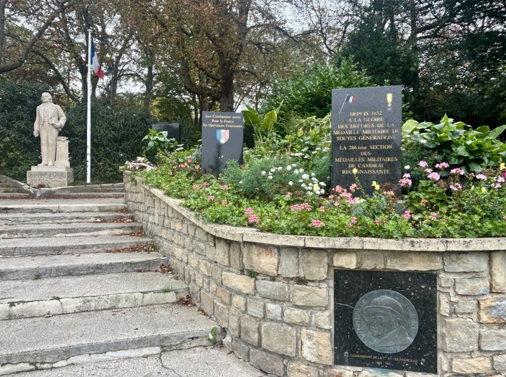
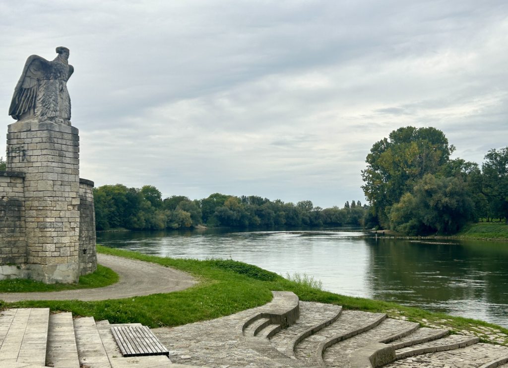
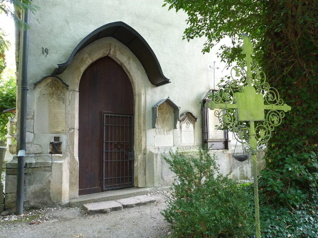
The Vis en Artois cemetery at Haucourt is unusual by British standards in that a number of the graves contain the remains of two men. I’ve seen this before in German cemeteries but not in those managed by the War Graves Commission. This particular cemetery holds the graves of 1,748 British, 582 Canadian, 6 Australian and 2 South African soldiers and airmen. However, the memorial names a further 9,806 British and 16 South African soldiers who fell in this immediate area but have no known grave.
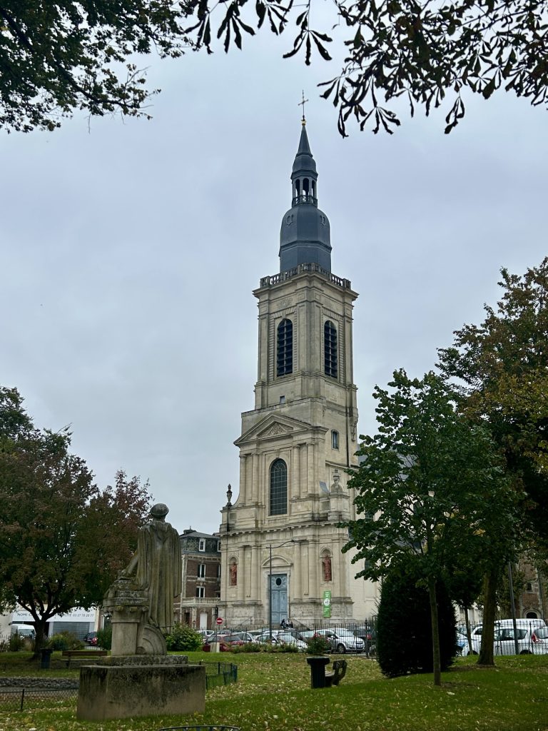
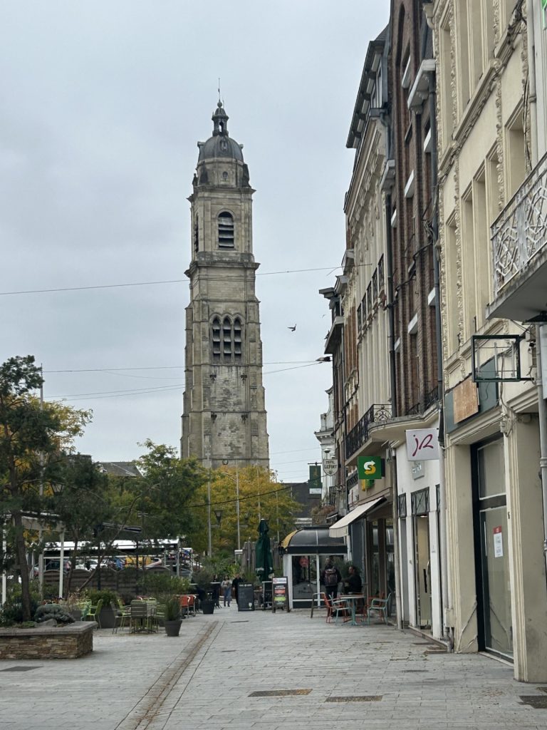
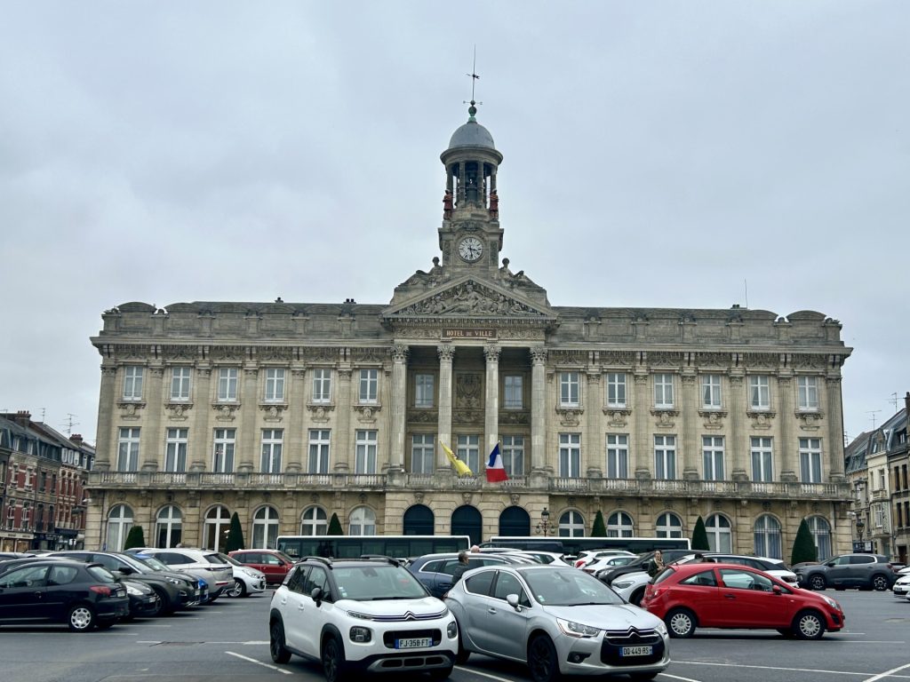
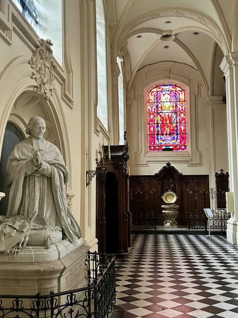
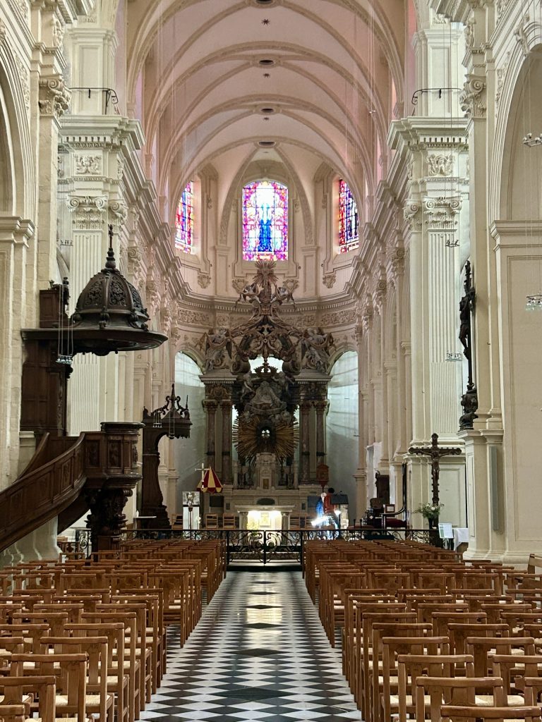
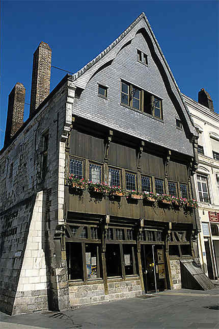
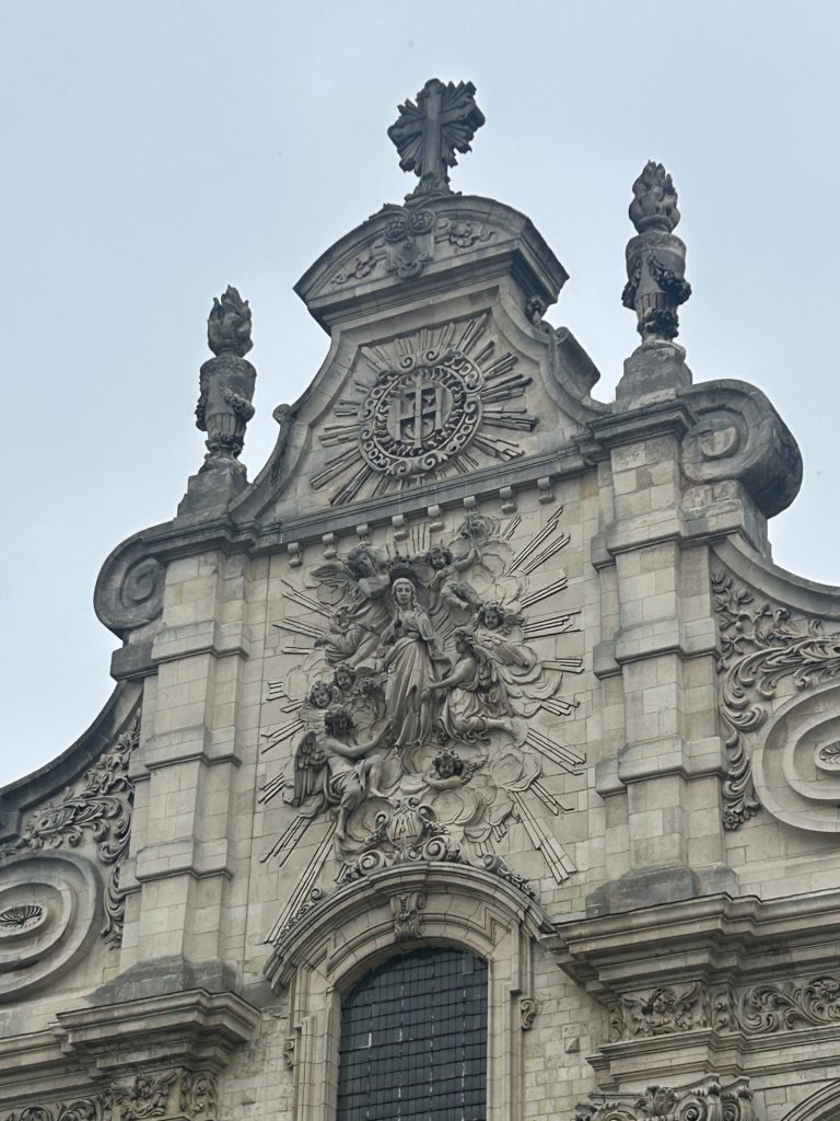
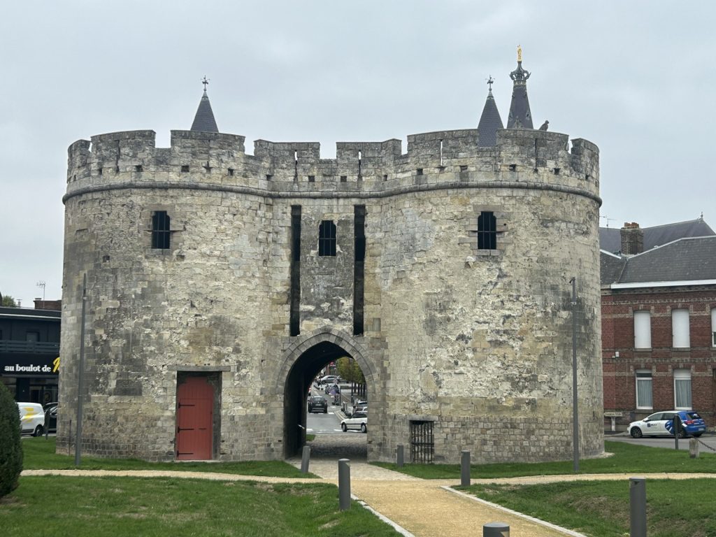
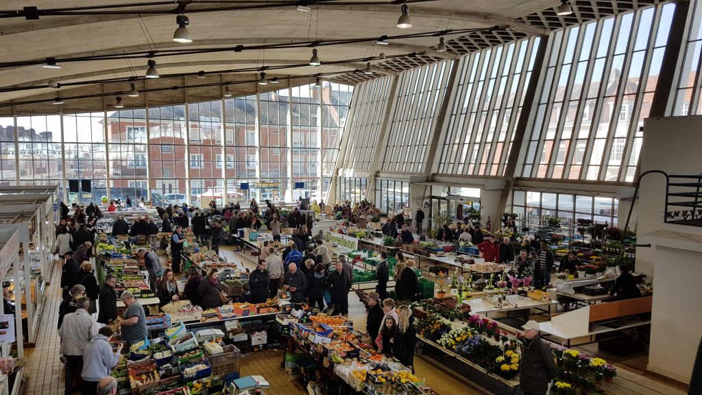
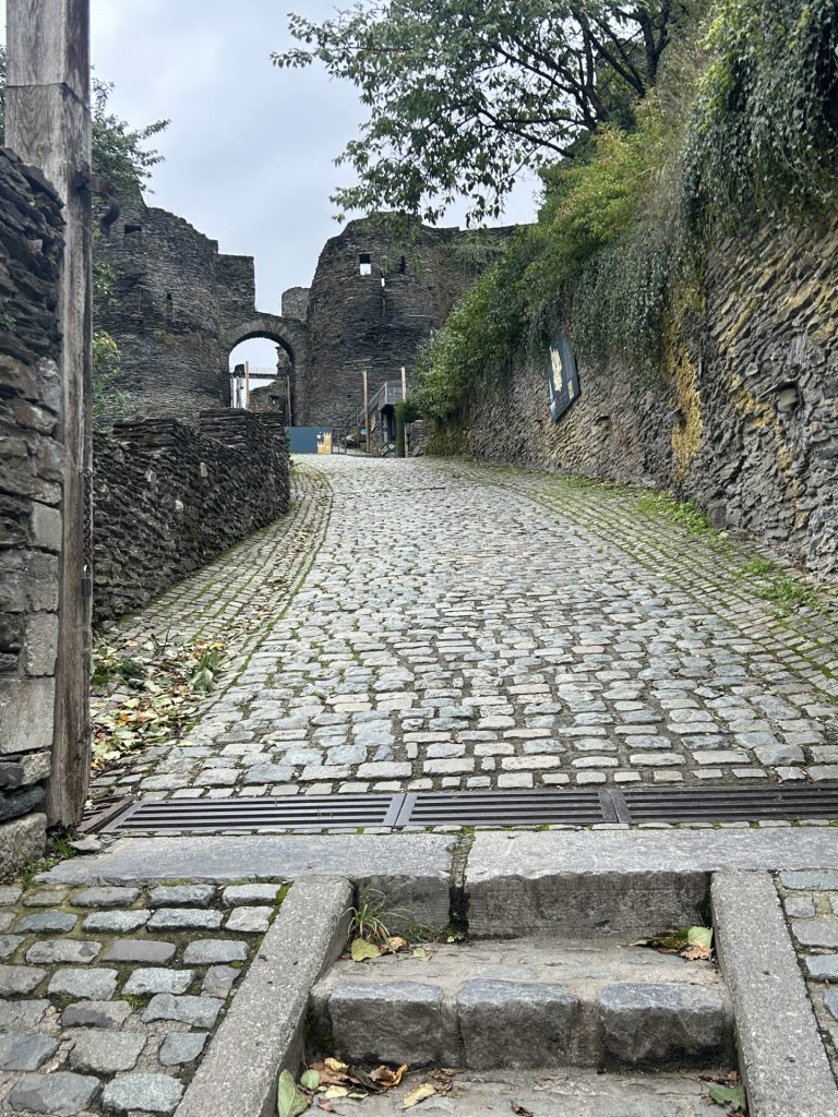
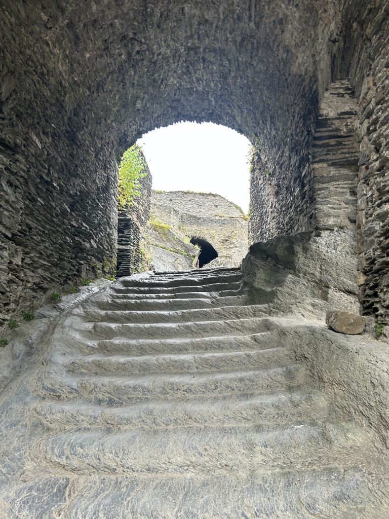
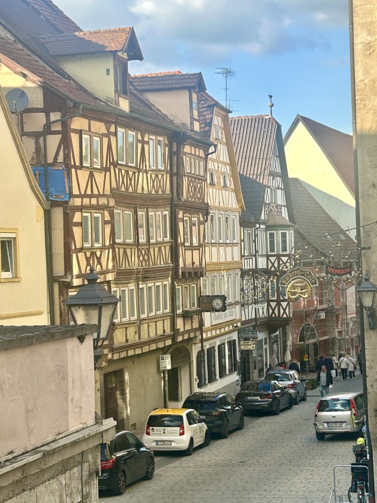
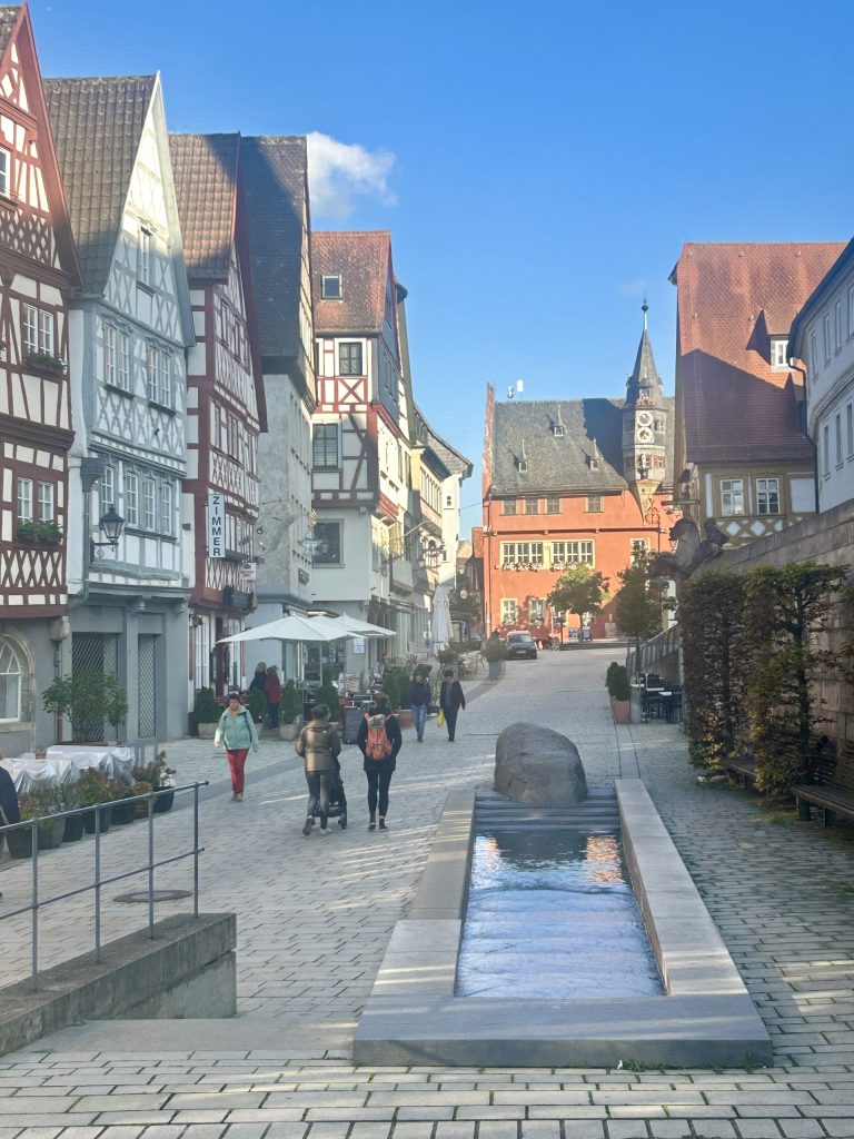
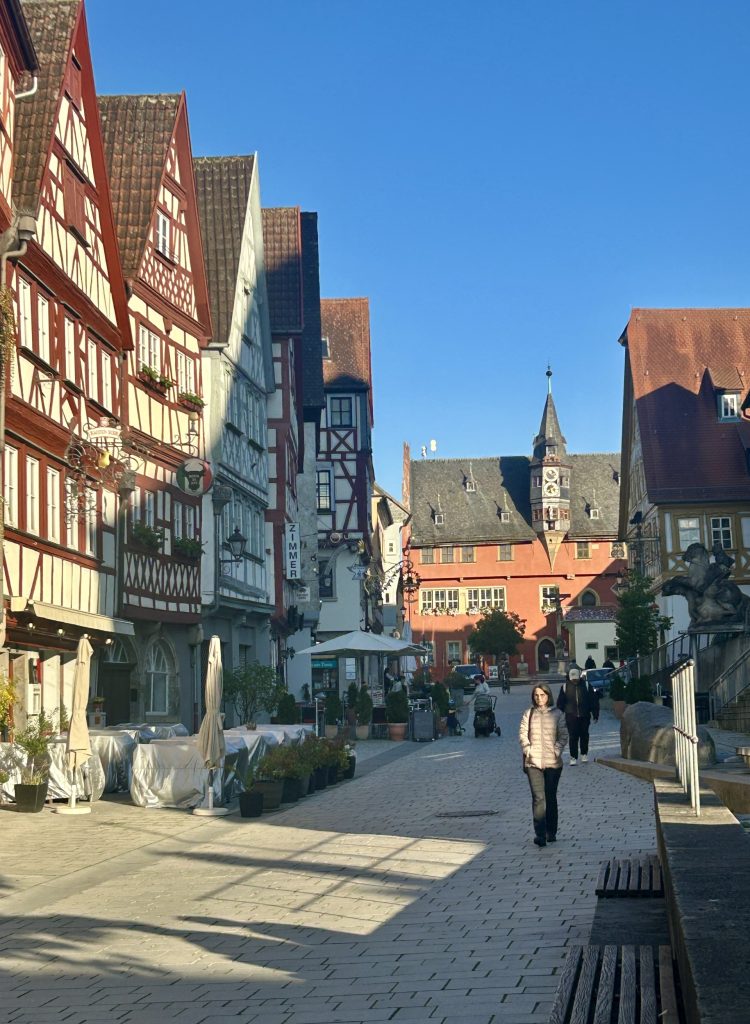
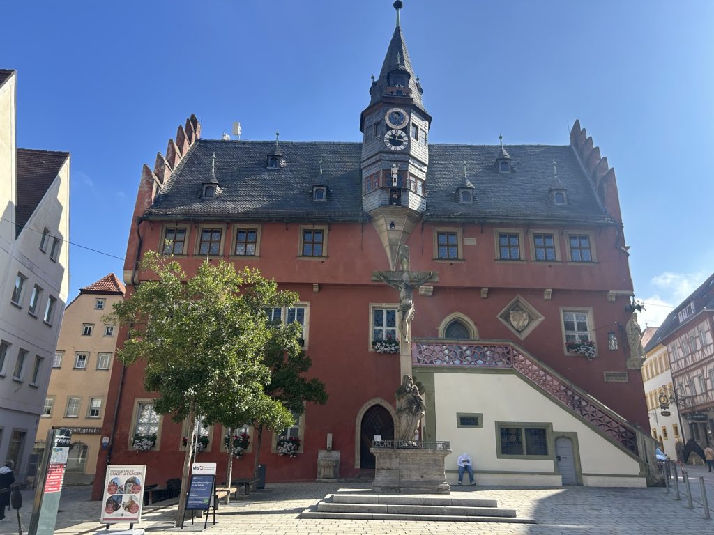
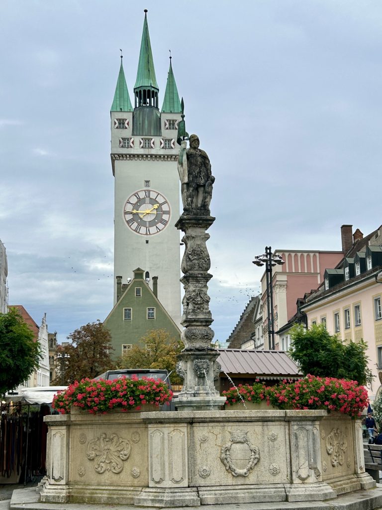
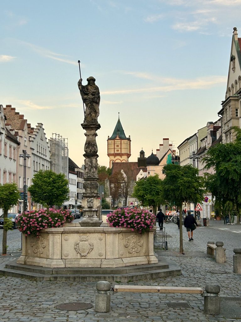
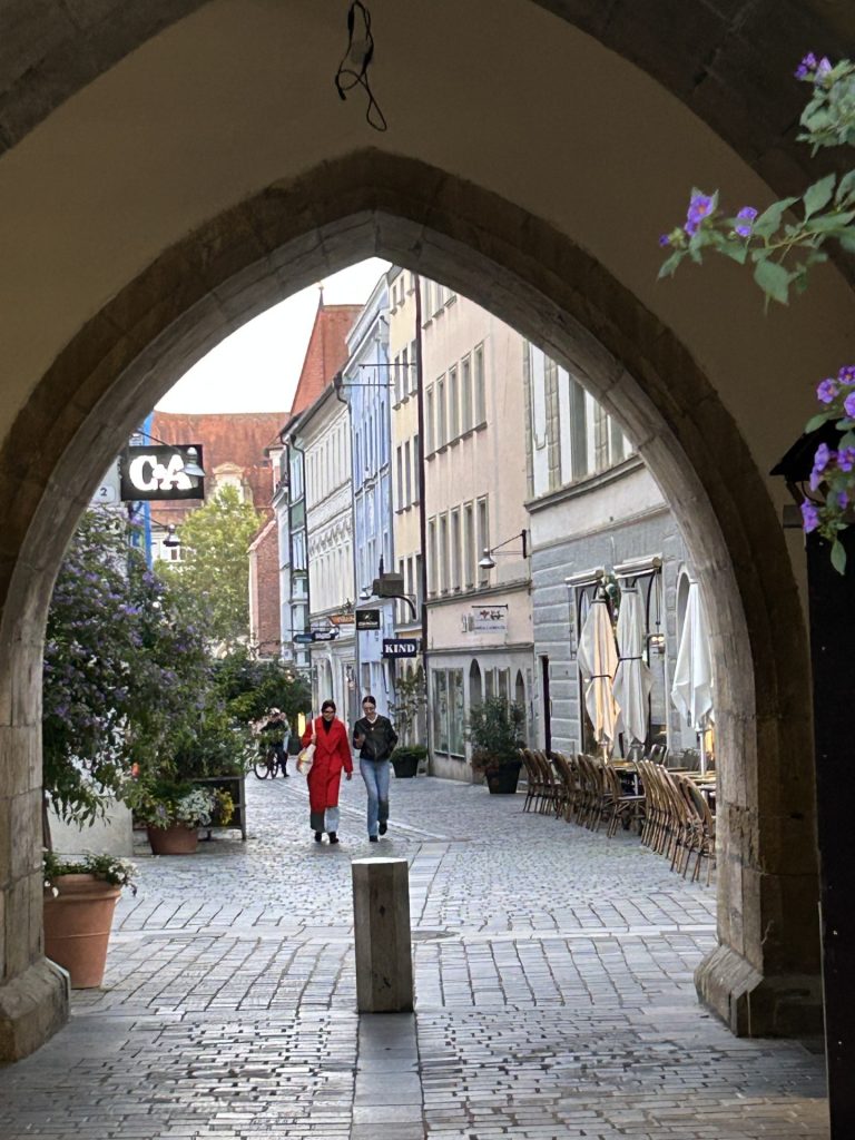
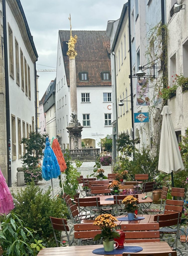
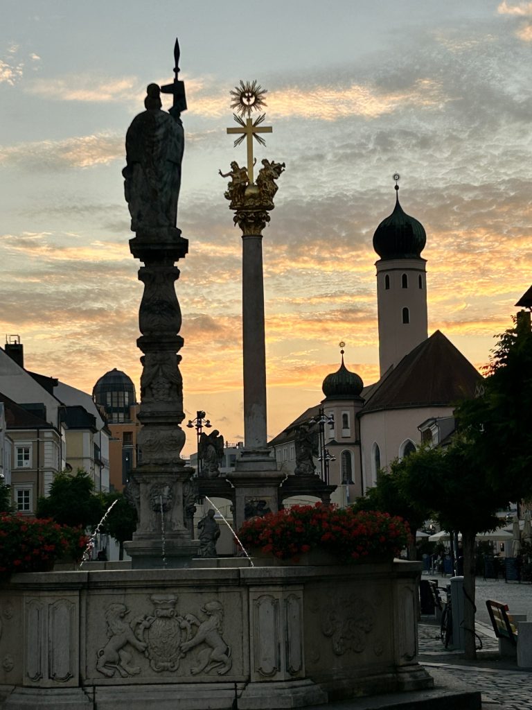
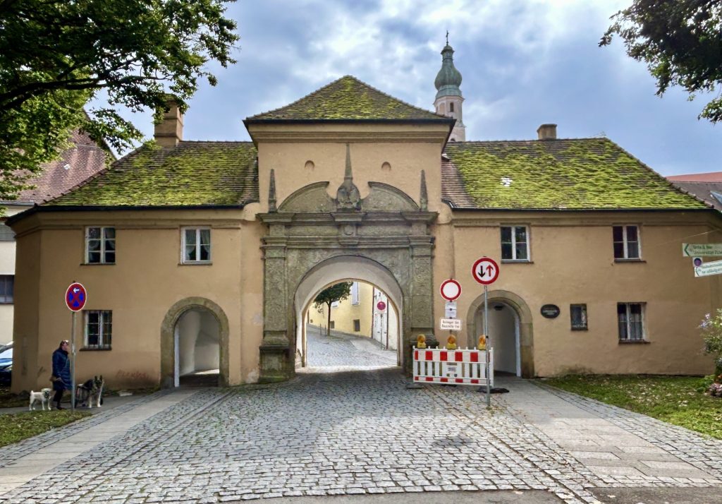
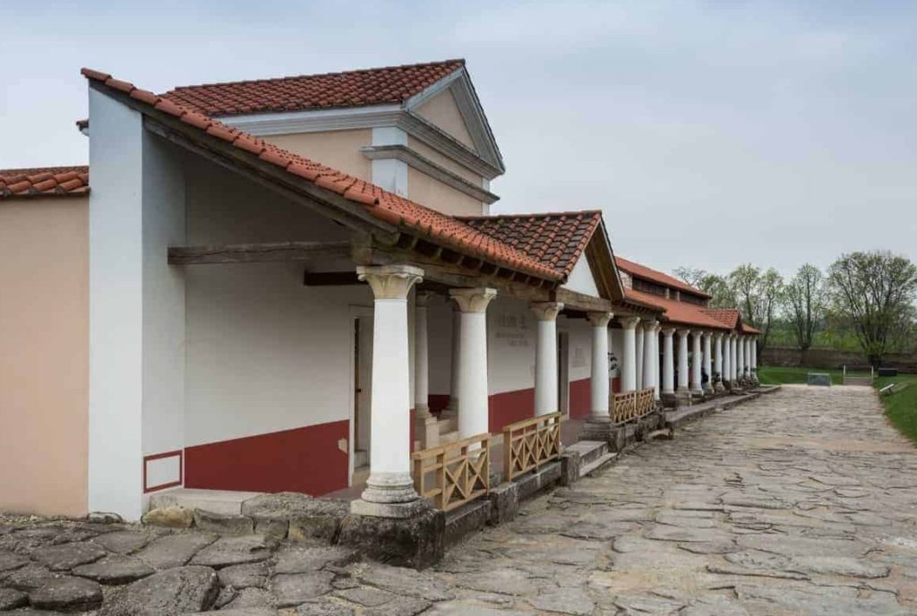
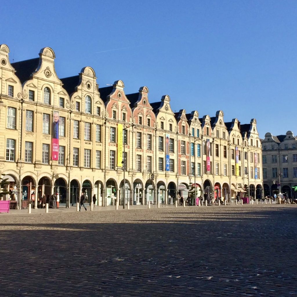
I had never previously visited Arras. It’s quite beautiful and I will certainly return for a longer stay. It has two fair sized market squares, La Grand Place and La Petite Place (also known as the Place des Heros) and markets are held on these squares on Thursday and Saturday mornings. Both squares are lined with ornate Flemish style town houses. They also hold a Belfry (the Beffroi d’Arras) and the City Hall. There are some fine views over the city from the top of the Belfry and, just as interesting, there’s an entrance near the City Hall to a well preserved network of tunnels (Les Boves de Arras) built underneath the city by British and New Zealand miners during World War I. The larger caves and tunnels were given names by the miners, the British naming sectors after towns in England (e.g. London, Liverpool and Manchester) and the Kiwis naming sectors after towns in New Zealand (Wellington, Nelson and Blenheim) and; the underground complex, which included a power station, light railway system and even a 700 bed hospital, became home to 24,000 Allied troops in the weeks leading up to the 1917 Battle of Arras. Guided tours through the caves and tunnels begin at the Carriere Wellington on Rue Arthur Deletoille and are highly recommended.
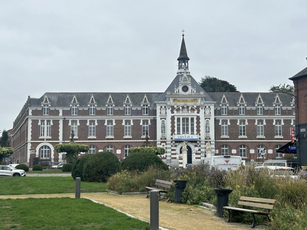
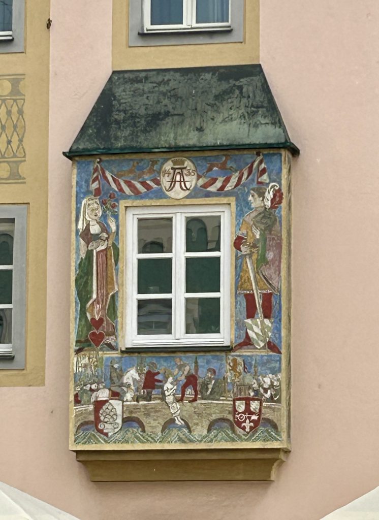
Much of Arras, including all the buildings on the two market squares, were completely destroyed during WWI. Indeed, by the end of the war in 1918, only 5% of the city’s houses were still habitable. So much had to be rebuilt. The good news was that sufficient records were unearthed to enable all the buildings on the two squares (the Belfry, the City Hall and the Flemish Town Houses) to be completely restored to their original specifications.

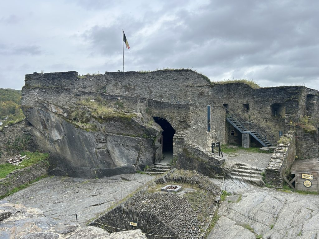
This was just a fleeting visit and I was unable to get a real feel for the city or see much more than the area around the two market squares but; there’s easily enough here to warrant a second, longer visit. There are two sites almost adjacent to each other which I definitely want to see next time. They are (a) the 17th century Citadel built by Vaubin known locally as ‘La Belle Inutile’ (i.e. the Beautiful Useless One) on account of it failing to prevent German occupation of the city in the last two World Wars and (b) the Arras Memorial which holds more than 2,650 British and Commonwealth Graves and a wall engraved with the names of a further 35,000 British soldiers who fell during the three WWI battles for Arras.
Also to be seen, a little to the north of the city, is the Canadian Memorial at Vimy Ridge; the French Necropolis of Notre Dame de Lorette; the nearby Ring of Remembrance (inspired methinks by the Vietnam Memorial Wall in Washington DC) and; the ruins of the 7th century Mont Saint-Eloi Abbey.
Arras is a deeply moving place and, for me, a must see. Lest We Forget.
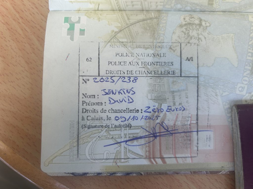
Roll on Tour 13… although it will be some time coming. It was a complete oversight on our part but; upon arriving at Calais to catch our ferry home we were advised by the local Gendarmerie that we had overstayed our allotted time on mainland Europe (Brexit) and so fell foul of Schengen. We were not aware that, despite electing against joining the EU, Norway and Iceland both subscribe to Schengen. As result, we stayed too long and received a 198 Euro per person fine. We also have a very much unwanted stamp in our passports…